Basic ecotouristic information on Ankarafantsika National Park (Madagascar) - localization, access, characteristic, fauna and flora, possible activities.
Localization
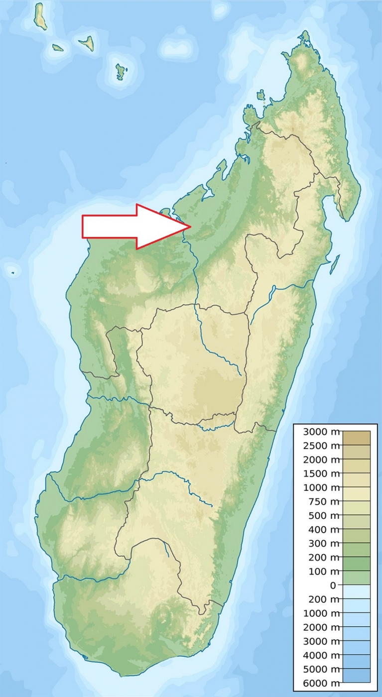
Northwestern Madagascar, 115 km southeast of Mahajanga.
Access
Easy, along the National Road No. 4 which crosses the park from Mahajanga
Characteristic
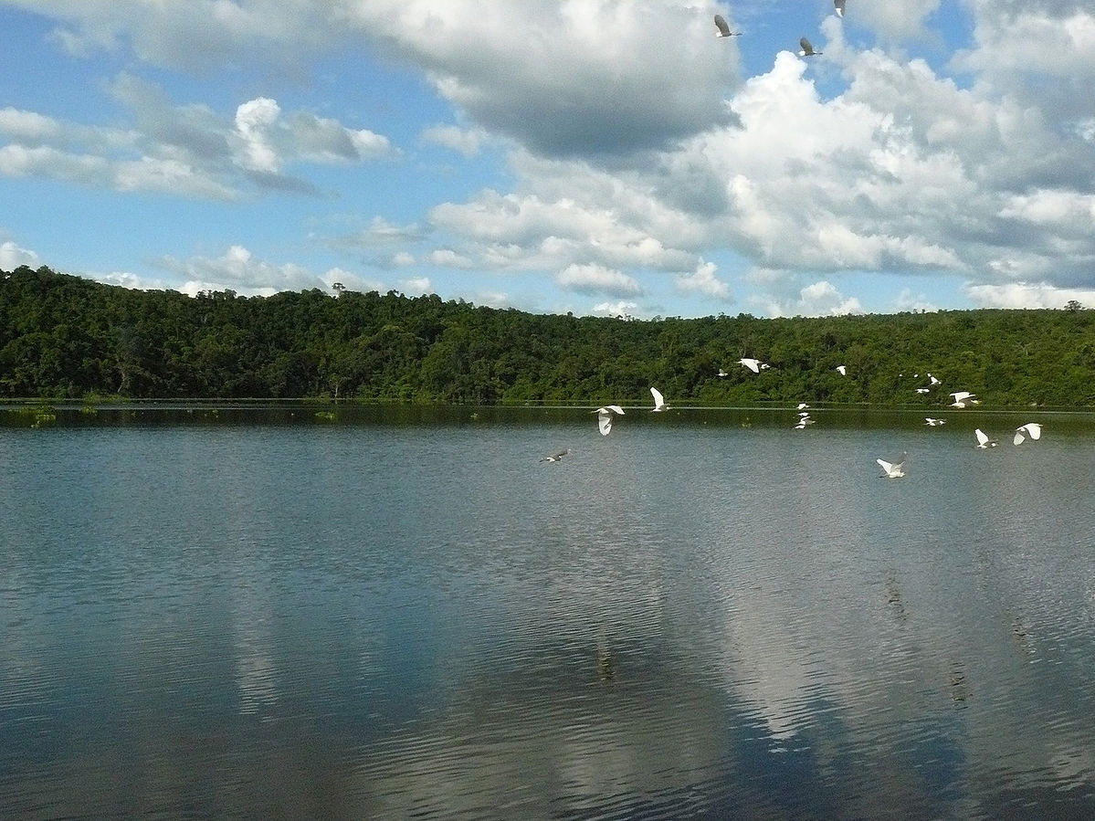
1350 km2; Lowland national park (altitude 88 - 125 m.a.s.l.) between the Betsiboka River to the west and the Mahajamba River to the east. The park consists of patches of thick dry tropical forest interspersed with less dense areas. There are lots of gorges and deep canyons in areas of eroded sandstone rocks of Ankarafantsika massiff at the park´s southeast edge. The average day temperatures can reach 25-30oC and even more during the dry season from May to October. The mean annual rainfall is 1482.5 mm. Typical ecosystems: dry deciduous forest, bushy forest, gallery forest around the Ravelobe Lake, savannah, eroded rock biotopes, wetlands, freshwater ecosystems (rivers and number of lakes).
Fauna + Flora
Species List - See the Attachment Below
(Species list may not be complete)
Possible Activities
Trekking - park is criss-crossed by tracks and paths of varying degree of difficulty.
Note
The Ramsar Site covers 33,200 hectares in two separate areas.
Best time to visit V-CI (X and XI it is very hot), animal watching is the best at the beginning of the rainy season (XII-II)
Breeding center for 3 very rare kinds of turtles.
Contact us
Would you like to have any information on above mentioned national park or would you like to join us to travel there? Please, fill up the attached form.