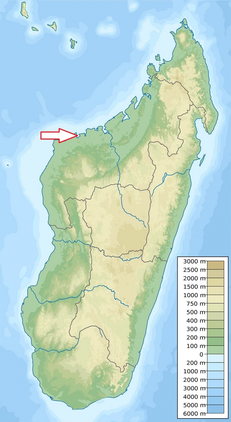
Basic ecotouristic information on Baie de Baly National Park (Madagascar) - localization, access, characteristic, fauna and flora, possible activities.
Localization
West Madagascar, approx. 150 km southwest from Mahajanga.
Characteristic
571 km2; Low hills area running along western coast of Bay of Baly. Its southern border is formed by the Kapiloza River and the Andranomavo River crosses the park.Typical ecosystems: dry forests, bushy forest, grasslands, freshwater ecosystems (rivers and lakes), wetlands, mangroves, sand dunes, sea and sea coast, coral reefs.
Access
Quite difficult - approx. 8 hours from Mahajanga. Dirty roads are passable only from May to November. About 20 minutes by a speed boat from Soalala.
Fauna + Flora
Species List - See the Attachment Below
(Species list may not be complete)
Possible activities
Four discovery circuits to walk from one to six hours.
Swimming, snorkelling and scuba diving in the coral reefs.
Note
Scarcely visited park
Best time to visit IV-X.
There are no accomodation facilities either in the park or in its surrondings.
Contact us
Would you like to have any information on above mentioned national park or would you like to join us to travel there? Please, fill up the attached form.