Basic ecotouristic information on Mananara Nord National Park (Madagascar) - localization, access, characteristic, fauna and flora, possible activities.
Localization
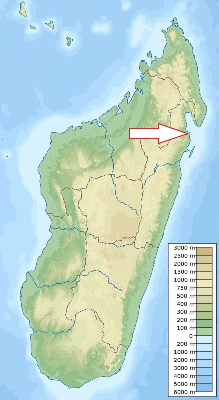
East Madagascar, 280 km north of Toamasina (Tamatave).
Access
Quite difficult. From Toamasina to Mananara Nord on RN5. There is a paved road from Toamasina to Soanierana Ivongo and thereafter a secondary road from Soanierana Ivongo to Mananara. The roads are accessible all year round, but in poor condition. Then, by boat from Mananara to the park (1-1.5 hour by speedboat, 3-4 hours by slow boat).
Characteritic
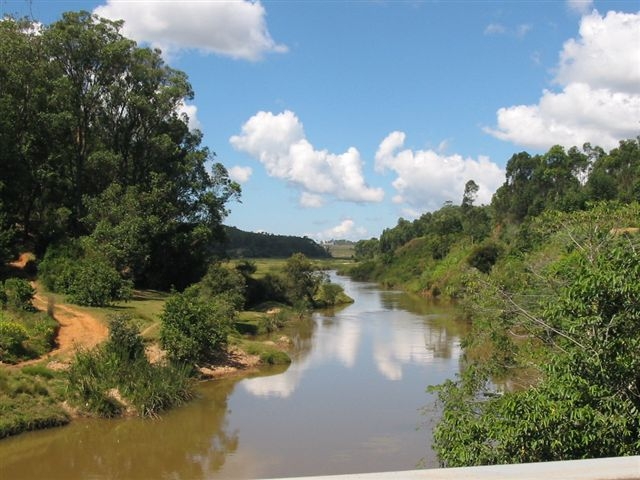
240 km2; Land and marine national park. Coastal slightly undulated lowland and adjacent part of the sea including three small islands. The park is bounded by the Mananara river to the north, the Sandrakatsy river and Fotsialanana river to the west, the Anove river to the south and the Indian Ocean to the east. There are many narrow valeys with cascades and waterfalls. Marine part of the park takes about 5% of the total park´s area. The altitude reaches from 0m to 569m. The average temperature is 25.2°C and the humidity is constantly high. It rains most of the year and can reach up to 2,900mm per year. Mananara is often a passage area for tropical cyclones. Typical ecosystems: lowland rain forest, secondary forest, freshwater ecosystems (rivers), mangroves, sea and sea coast, coral reefs.
Fauna + Flora
Species List - See the Attachment Below
(Species list may not be complete)
Possible activities
Several trekking circuits, other are being prepared.
Swimming, snorkelling, scuba diving.
Note
Madagascar's first marine park
Included in the UNESCO global network of biosphere reserves.
Best time to visit IV-IX.
Contact us
Would you like to have any information on above mentioned national park or would you like to join us to travel there? Please, fill up the attached form.