Basic ecotouristic information on Masoala National Park (Madagascar) - localization, access, characteristic, fauna and flora, possible activities.
Localization
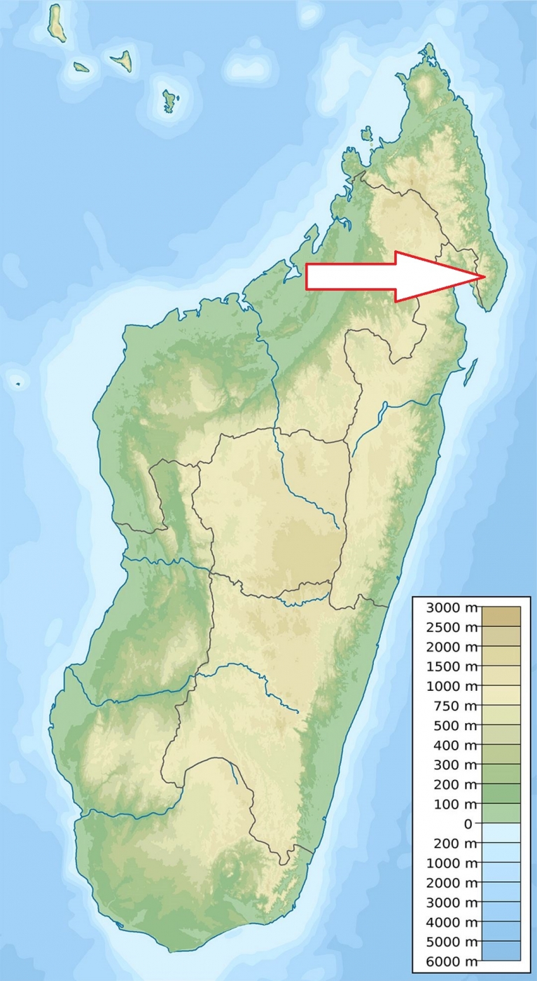
Northeast Madagascar at the northern end of Antongil Bay.
Access
Quite difficult - from Maroantsetra, transport by motor boat about three hours can be arranged. From Antalaha, the park can be accessed by a very bad road.
Characteristic
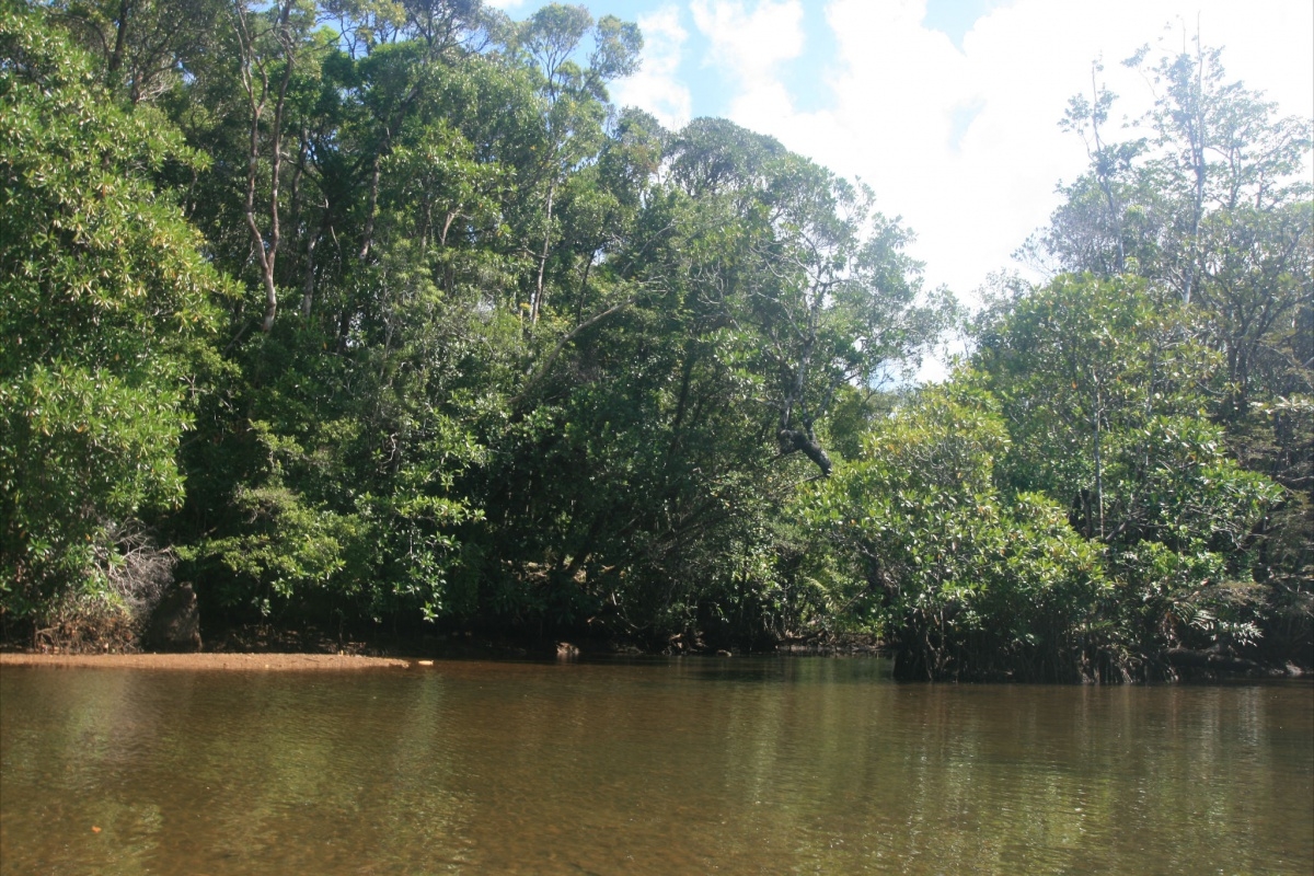
2,405 km2; Largest national park in Madagascar. Densely forested peninsula is enclosed by the Indian Ocean in the east and Antongil Bay in the west. The Masoala peninsula is very uneven in its northern and western parts. Further south, the slopes are less steep. Altitude ranging from sea level to 1,224 meters. Park is partly defined as marine national park. The only place in the country where the rainforest meets the sea. This is an exceptionally wet area of Madagascar - between 2200 and 7000 mm per year. The driest part of the year is from September to December. Humid and warm climate where the temperature varies between 24°C in January and 21°C in August. Typical ecosystems: primary tropical rain forest, coastal forest, flooded forest, wetlands, mangroves, freshwater ecosystems, sea and sea coast, coral reefs.
Fauna + Flora
Species List - See the Attachment Below
(Species list may not be complete)
Possible activities
One of the best areas for several days trekking on Madagascar, whale watching (VII-IX).
Swimming, snorkelling, sea kayaking, fishing, mountain bikes, boat trips.
Note
World Heritage Site of UNESCO
All visits to the park must be accompanied by an official park-approved guide.
Best time to visit IX - XII, the cyclone season (January to March) is best to be avoided.
Contact us
Would you like to have any information on above mentioned national park or would you like to join us to travel there? Please, fill up the attached form.