Basic ecotouristic information on Midongy du Sud National Park (Madagascar) - localization, access, characteristic, fauna and flora, possible activities.
Localization
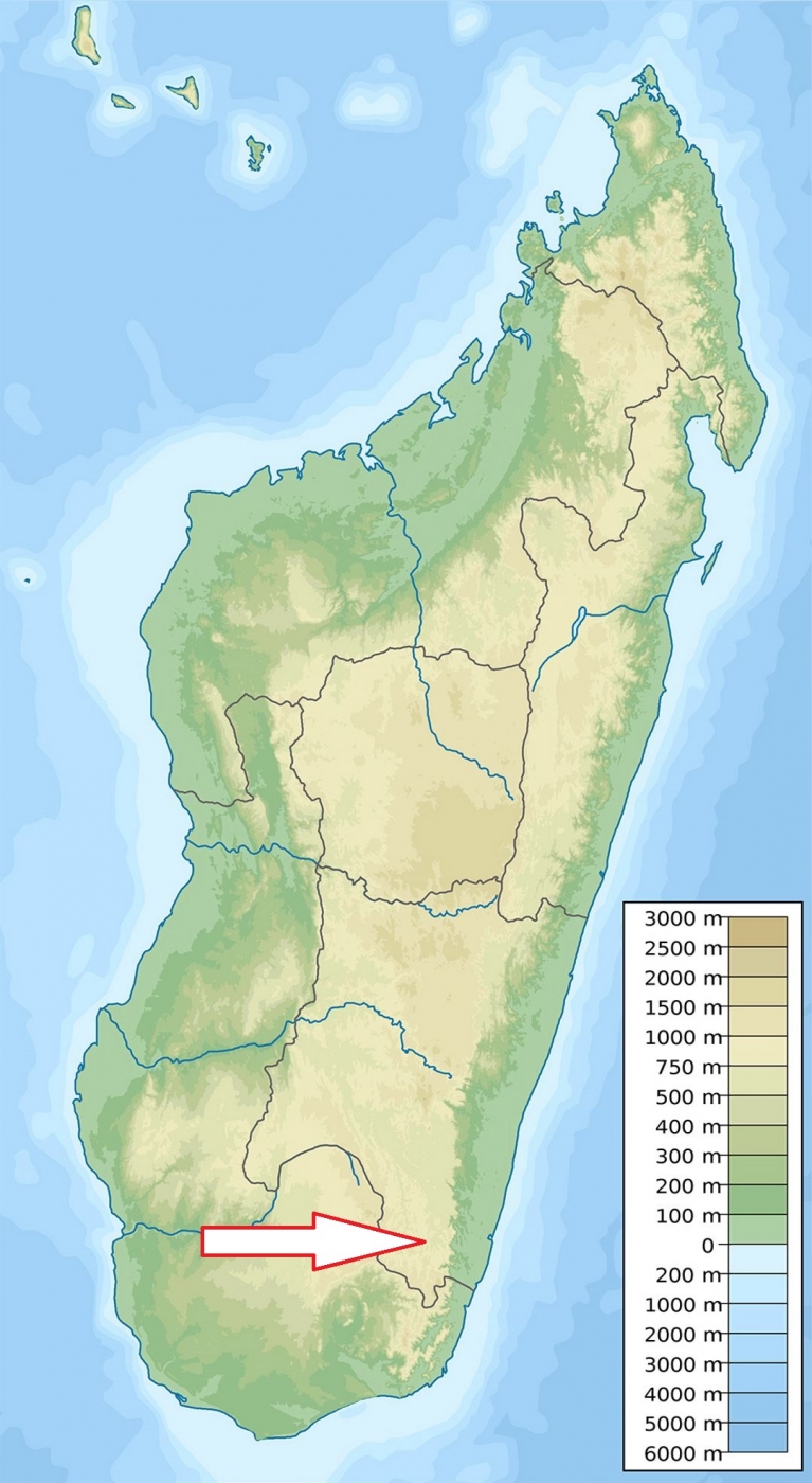
Southeast Madagascar, 42 kilometres north of Befotaka and 90 kilometres south-east of Vangaindrano.
Access
Quite difficult - the park is accessible by unpaved roads which may be impassable during the wet season of December to June.
Characteristic
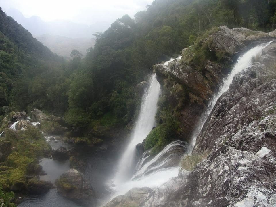
1922 km2; Highlands to low mountains area. There are deep valleys with humid rain forests and steep mountains and altitude, within the park, ranges from 689 metres to the summit of Mont Papango at 1,679 metres. Many streams drain the mountains to feed marshes in the lowlands. Due to the rugged topography and the humid climate, Madagascar's second largest rain forest is within the park. Mean annual rainfall is from 1,600 millimetres to 3,600 millimetres. Average temperatures are quite cool (yearly average is 18°C). The national park is divided into two main parts; the Befotaka Forest 43,423 hectares and the Soarano Forest 24,145 hectares. Typical ecosystems: tropical rain forest, mountain forest, freshwater ecosystems, wetlands.
Fauna + Flora
Species List - See the Attachment Below
(Species list may not be complete)
Possible activities
Limited trekking possibilities.
Note
Park is “accessible” by road only from June until late November, and a good jeep is compulsory.
The park is still very little known and rarely visited.
Contact us
Would you like to have any information on above mentioned national park or would you like to join us to travel there? Please, fill up the attached form.