Basic ecotouristic information on Tsingy de Namoroka National Park (Madagascar) - localization, access, characteristic, fauna and flora, possible activities.
Localization
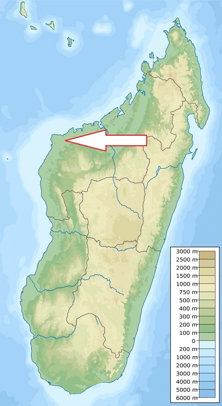
Northwest Madagascar, 50 km south of Soalala and 221 km southwest of Mahajanga.
Access
Difficult, abou 12 hours drive from Mahajanga.
Characteristic
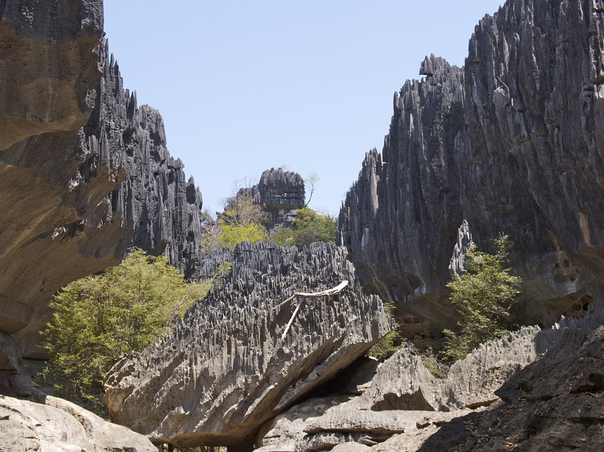
222 km2; Rised limestone plateau cut in wages and limited by cliffs of 30 meter in height on average. The dramatic landscapes preserved in this park include tsingy, deep canyons, caves and pools. There are four small permanent rivers in the park as well as various temporary streams. Permanent and temporary pools are located in the caves and caverns within the karst. The park has a dry season lasting about seven months (IV-X) with a rainy season lasting only five months. The resulting precipitation is about 115 cm per year, while the average temperature hovers around 27 °C. Typical ecosystems: semi-deciduous dry forest, savanna, karst biotopes, caves, freshwater ecosystems.
Fauna + Flora
Species List - See the Attachment Below
(Species list may not be complete)
Possible activities
Cave adventure trips, mountaineering.
Several walking circuits.
Note
The park forms a complex with the neighboring Baie de Baly National Park.
The Marosakabe cave system is 113km long and is the longest cave in Africa. The underground network remains poorly explored.
Park is accessible only during dry season IV-X.
Contact us
Would you like to have any information on above mentioned national park or would you like to join us to travel there? Please, fill up the attached form.