Basic ecotouristic information on Zahamena National Park (Madagascar) - localization, access, characteristic, fauna and flora, possible activities.
Localization
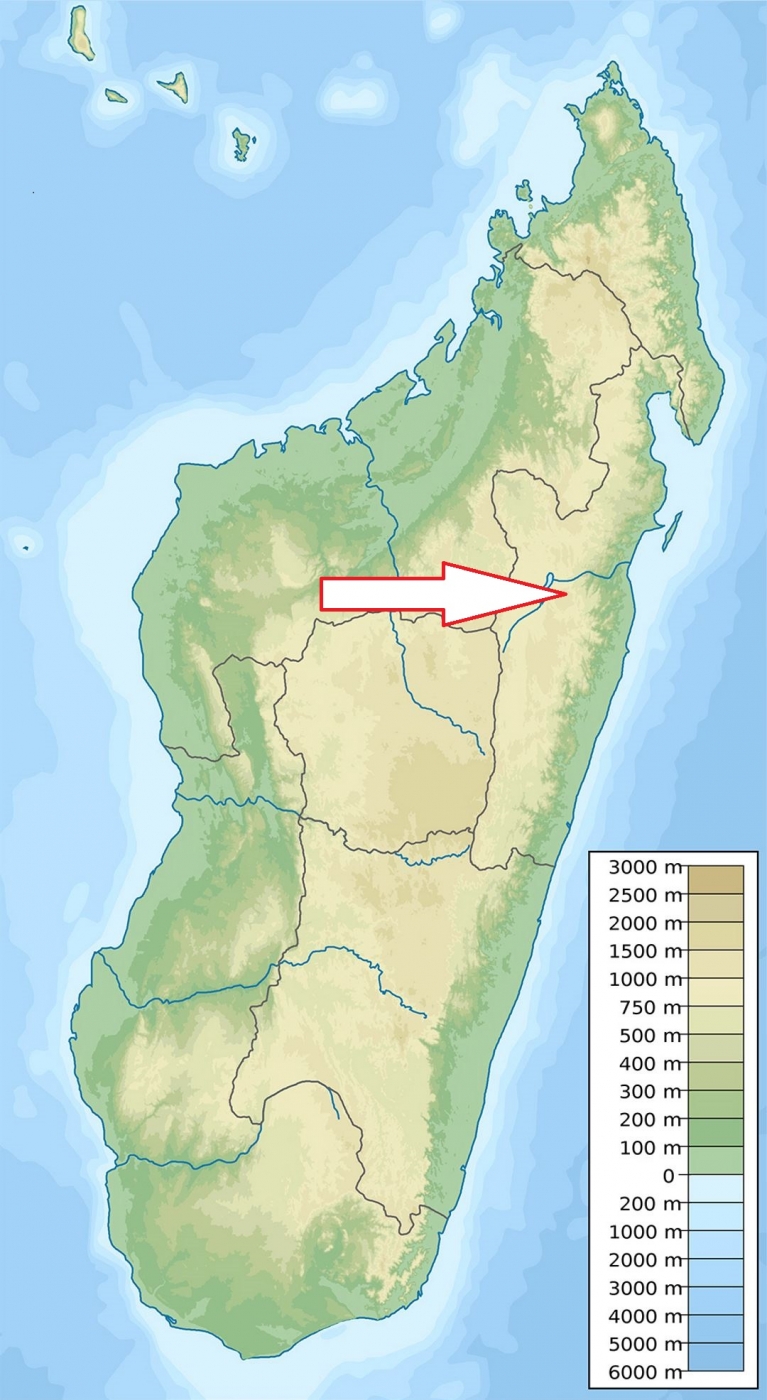
East Madagascar, 40 kilometres north-east of Ambatondrazaka, 70 kilometres to the northwest of Tamatave and about 25 kilometres east from Lake Alaotra.
Access
Quite difficult - by 4x4 vehicle only. From Ambatondrazaka 67 km offroad to the park office in Antanandava and another 8 km to the park entry nearby Ankosy (altogether about 4 hours drive). Very experienced driver is a must.
Characteristic
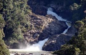
423 km2; Rugged, hilly landscape of the eastern rock faces as part of the mountainous hinterland of Madagascar with an elevation range of 254–1,560 metres. This terrain forms the dividing line of the lowlands with lots of canyons and steep slopes. The land area of the park has well defined boundaries on the north east and south. The park is divided into two zones (on the east and west) by a corridor with settled villages in between. The park area is made up of many valleys and is drained by lots of rivers. Climatically, the park is tropical and humid even during the dry season. It receives an annual rainfall in the range of 180–200 cm; the average temperature recorded is in the range of 15-28C. Typical ecosystems: primary tropical rain forest, sclerophyllous montane forest, freshwater ecosystems.
Fauna + Flora
Species List - See the Attachment Below
(Species list may not be complete)
Possible activities
There exist only two circuits hiking ciruits inside Zahamena National Park. Both need at least one whole day or longer.
Note
Declared a World Heritage Site by UNESCO
No tourist infrastructure inside the park.
Rarely visited national park.
Contact us
Would you like any information on above mentioned national park or would you like to join us to travel there? Please, fill up the attached form.