Basic ecotouristic information on Ruaha National Park (Tanzania) - localization, access, characteristic, fauna and flora, possible activities.
Localization
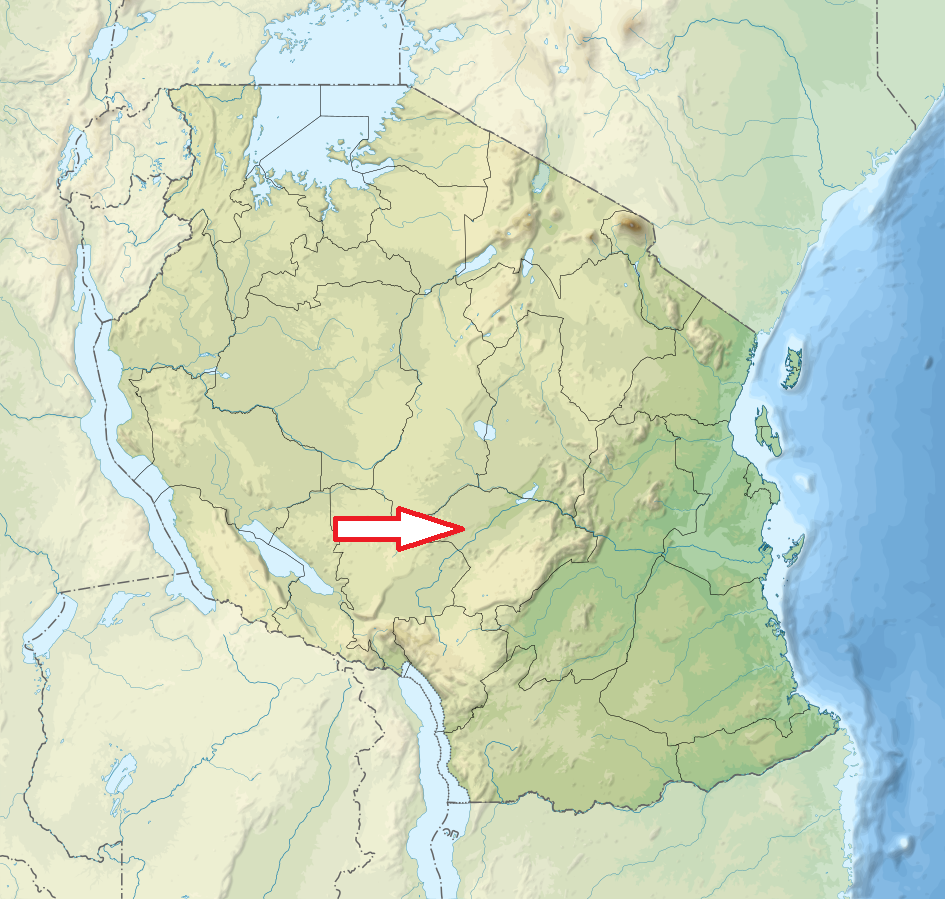
Central Tanzania, 130 km west of Iringa
Access
Quite easy. The park can be reached by car on a dirt road from Iringa or by air - and there are two airstrips.
Characteristic
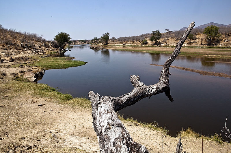
13 000 km2. Hilly landscape and large plateau in the altitude of 900 m. Park altitude 750 – 1830 m. The Great Rift Valley crosses the park. The escarpment wall along the western valley side is about 50-100m high in the north-eastern parts, increasing in height to the southwest. The Great Ruaha River flows for 160km long along the entire eastern boundary of the park. Typical ecosystems: savanna, dry thorny forest, semidesert, freshwater ecosystems (rivers). The largest elephant population of any East African national park.
Fauna + Flora
Species List - See the Attachment
Possible activities
Excellent contitions for birdwatching. Walking safari.
Note
Largest national park in Tanzania
Stone age ruins at Isimila, one of Africa's most important historical sites
Best time to visit V-XII (predators and large mammals), I-IV (birdwatching and flowers). Some roads are not accessible in III and IV.
