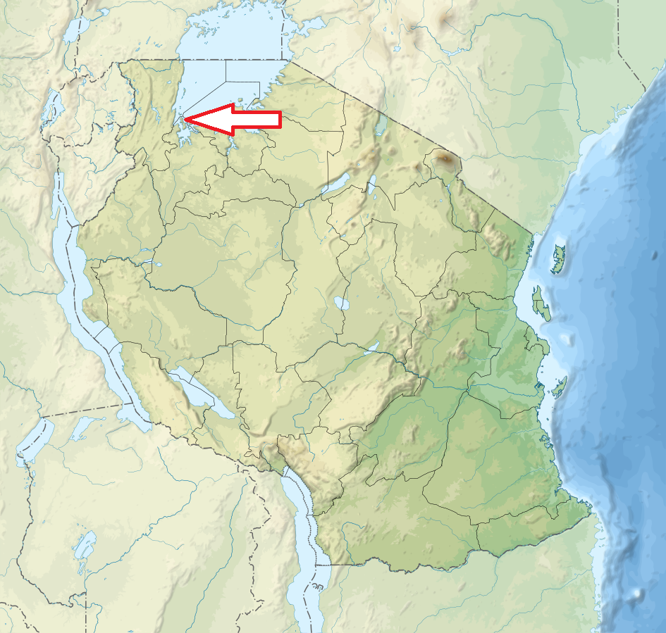
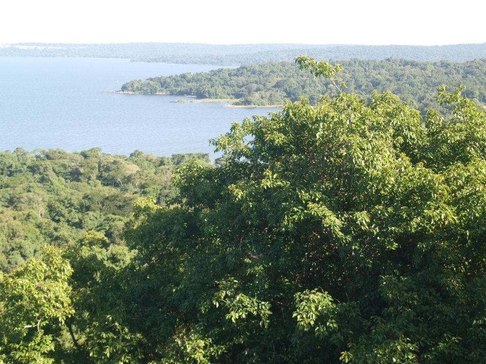
Basic ecotouristic information on Rubondo Island National Park (Tanzania) - localization, access, characteristic, fauna and flora, possible activities.
Localization
North Tanzania, Southwestern corner of Lake Victoria, 150 km west of Mwanza
Access
Easy. The Park can be accessed by road in approximately 4 hours drive on a tarmac road from Mwanza to Geita and a morum road from Geita to Nkome. Visitors travelling through this route can be picked up by the park boat at Nkome, and will take a maximum of one an half hours cruising to Rubondo main island.
Characteristic
457 km2, One big island and 9 small islets in the Lake Victoria. The main island measures 28 km from north to south and is 3–10 km wide. The highest point on Rubondo is the Masa Hills in the far south, at an elevation of 1,486m (350m above the level of the lake). The island has no rivers and the soil is volcanic. Typical ecosystems: evergreen and semideciduous forests, freshwater ecosystems, wetlands covered with papyrus, grassland.
Fauna + Flora
Species List - See the Attachment
Possible activities
Walking trips, island game drives
Fishing, boat trips
Note
Best time to visit VI-VIII (for flowers and butterflies), XI-III (for migratory birds)
