Basic ecotouristic information on Serengeti National Park (Tanzania) - localization, access, characteristic, fauna and flora, possible activities.
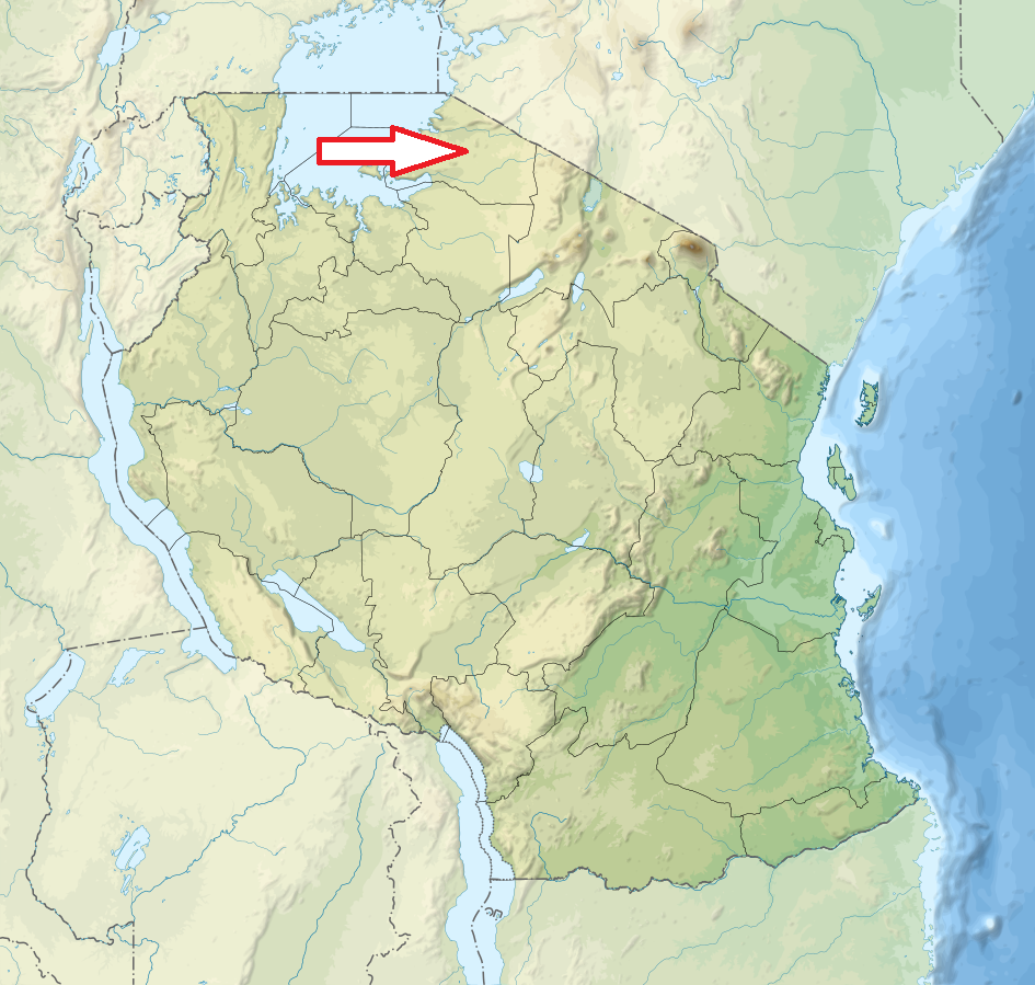
Localization
Northwest Tanzania; 335 km west of Arusha stretching north to Kenya and bordering Lake Victoria to the west.
Access
Easy. By car along a paved road from Arusha.
Characteristic
14 763 km2; Lightly rolled plains with altitude from 920 to 1850 m. The park is usually described as divided into three regions:
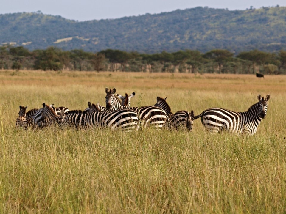
Serengeti plains - the almost treeless grassland of the south is the most emblematic scenery of the park.
Western corridor - the black clay soil covers the swampy savannah.
Northern Serengeti the landscape is dominated by open woodlands and hills.
The most frequently visited national park in Tanzania famous for massive migration of ungulates (more than one million individuals of wildebeest, 300 000 zebras and other species). The Serengeti plains harbour the largest remaining unaltered animal migration in the world. Serengeti has the highest concentration of large mammals on the Earth. Typical ecosystems: grasslands, riverine forest, woodland, bush, freshwater ecosystems (rivers).
Fauna + Flora
Species List - See the Attachment
Possible activities
Safari drives
Hot air balloon safaris
Note
The park is listed in The World Heritage List of UNESCO from 1981
Massai rock paintings
Best time to visit XII-VII (ungulates migration), VI-X (predators observation)
