Basic ecotouristic information on Tarangire National Park (Tanzania) - localization, access, characteristic, fauna and flora, possible activities.
Localization
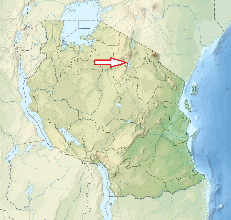
North Tanzania; 116 km southwest of Arusha.
Access
Easy. Along the paved road south from Arusha in less than two hours
Characteristic
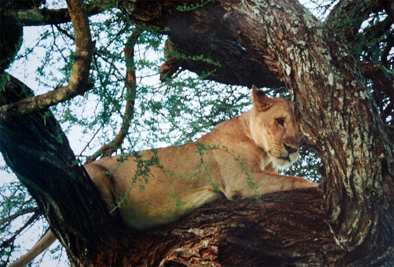
2 850 km2; Hilly landscape and plateau lying in altitude of 1 000 – 1 500 m between the plains of the Maasai Steppe to the south-east, and the lakes of the Great Rift Valley to the north and west. Tarangire river crosses through northern part of the park. In the south are a series of vast 'swamps' which dry into verdant plains during the dry season. Although it gets very dry, the park is relatively thickly vegetated with acacia shrubs and mixed woodland. Most memorable of which are the huge baobab trees dotted around in big numbers. The park is also famous for the termite mounds that dot the landscape. The largest concentration of wildlife behind Serengeti. Typical ecosystems: grasslands, woodlands, dry forest, riverine forest, seasonal wetlands, freshwater ecosystems (Tarangire River).
Fauna + Flora
Species List - See the Attachment
Possible activities
Guided walking safaris.
Hot air ballon flights.
Day trips to Maasai and Barabaig villages.
Note
Hundreds of ancient rock paintings in the vicinity of Kolo.
Less frequented national park.
Best time to visit: Year round but dry season (June - September) for sheer numbers of animals.
