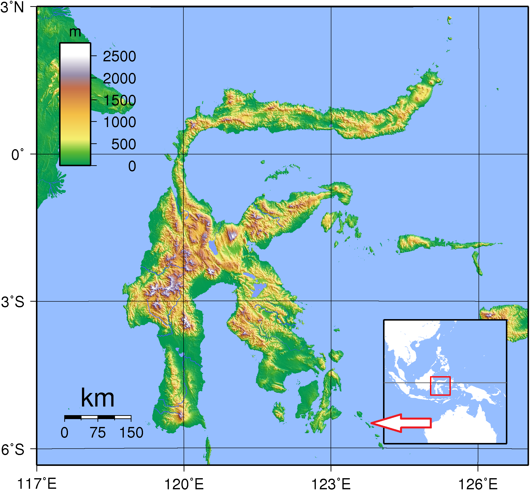
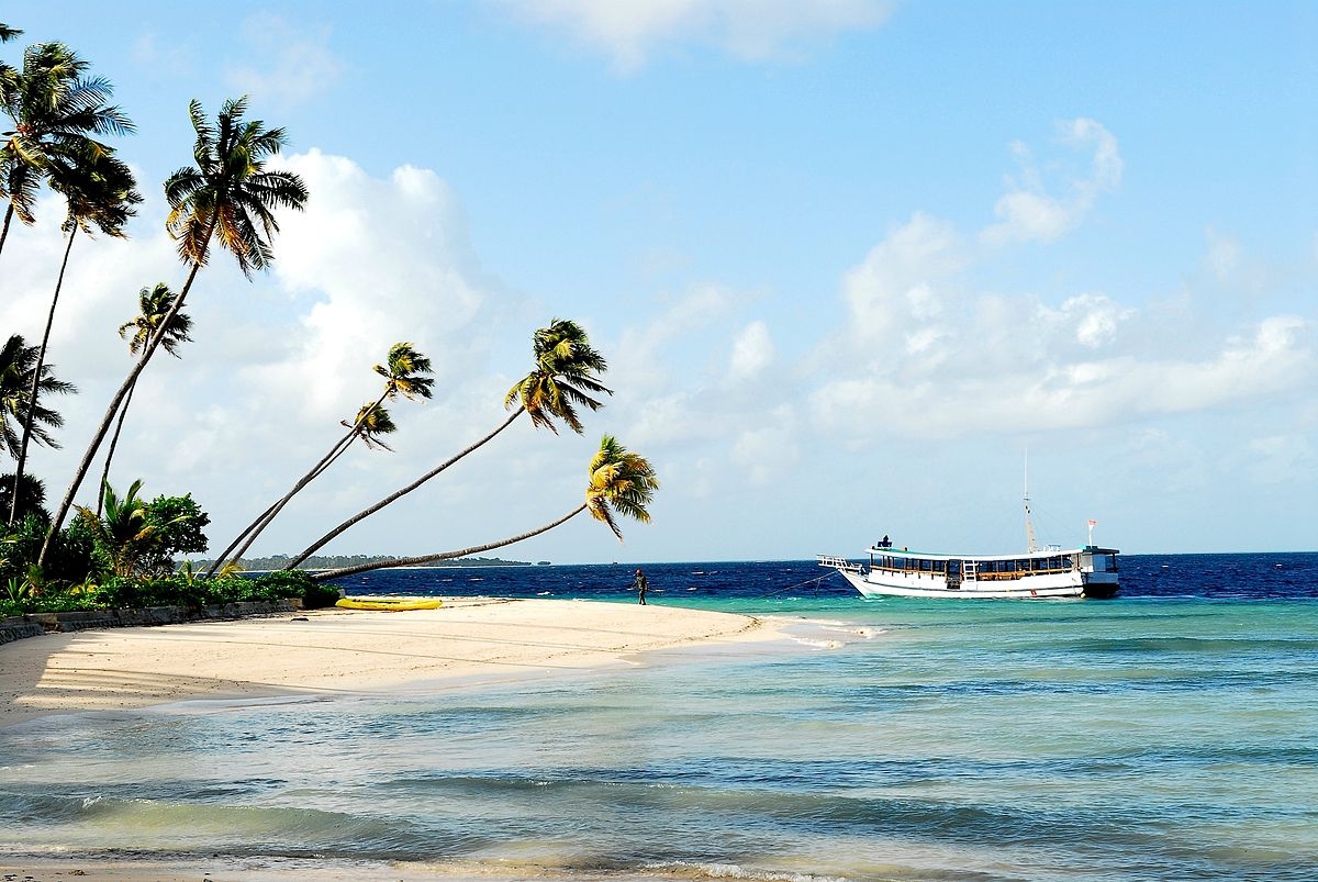
Basic ecotouristic information on Wakatobi National Park (Sulawesi, Indonesia) which can be visited - localization, access, characteristic, fauna and flora, possible activities.
Localization
Islands Southeast of Sulawesi Island between the Banda Sea to the north-east and the Flores Sea to the south-west.
Access
By air to small Wakatobi’s Matohara Airport on Wangi-Wangi Island or by boat from Bau-Bau in Southeast Sulawesi.
Characteristic
13.900 km2; Marine national park. Park consists of four larger islands: Wangi-Wangi, Kaledupa, Tomia and Binongko, as well as many small islands. The highest elevation is 274 metres. The water depth varies, with the deepest parts reaching 1,044 metres. This Park has 25 chains of coral reefs, and the total circumference of the coral islands is 600 km. It has also the largest coral barrier reef in Indonesia. Typical ecosystems: sea and sea coast, coral reefs, mangroves and tropical rain forest in the inland of islands.
Fauna + Flora
Species List - See the Attachment
Possible activities
Excellent diving, snorkelling and swimming.
Fishing.
Note
Proposed World Heritage Site of UNESCO
Park belongs to World Network of Biosphere Reserves
Bajo sea nomads people living in the park.
Best time to visit IV-VI and X-XII
Contact us
Would you like to get any information on above mentioned national park or would you like to travel there? Please, fill up the attached form.