Basic ecotouristic information on Kerinci Seblat National Park (Sumatra, Indonesia) which can be visited together with Albatros Travel and Expeditions - localization, access, characteristic, fauna and flora, possible activities.
Localization
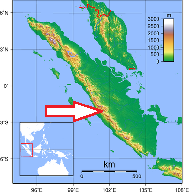
Central Sumatra
Access
Quite a long journey (7 hours from Padang)
Characteristic
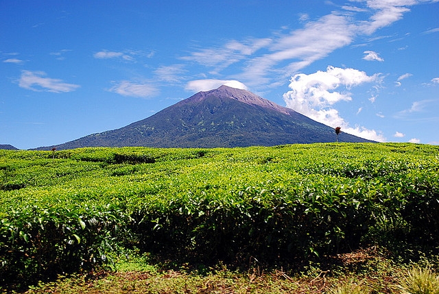
13 750 km2; Mainly mountainous national park (altitude of 300 - 3800 m) area includes a large part of the Barisan mountain range and includes the highest peak in Sumatra, Mount Kerinci (3,805 m). There are another five active volcanoes in the national park. It is characterized by alternating high blocks and alluvial plains it has many rivers and lakes including the Kerinci Lake, 9.5 km x 6 km and 110 m deep. The park is stretching for almost 350 km from northwest to southeast mostly parallel to the coast and averaging 50 km wide. Many rivers with rapids, caves and scenic waterfalls. The highest caldera lake in Southeast Asia - Lake Gunung Tujuhwhile. The Great Sumatra Fault runs through the national park. Typical ecosystems: tropical rain forest, mountain forest, cloud forest, alpine biotopes, volcanic biotopes, freshwater ecosystems, wetlands.
Fauna + Flora
Species List - See the Attachment
Possible activities
Trekking through dense forest - different length and difficulty.
Climb up Mt. Kerinci - 2-3 days trek.
Note
Best time to visit V-VIII
Park is listed in the World heritage list of UNESCO.
Many hot springs
Very interesting place from geological point of view.
Megaliths in the Kerinci valley