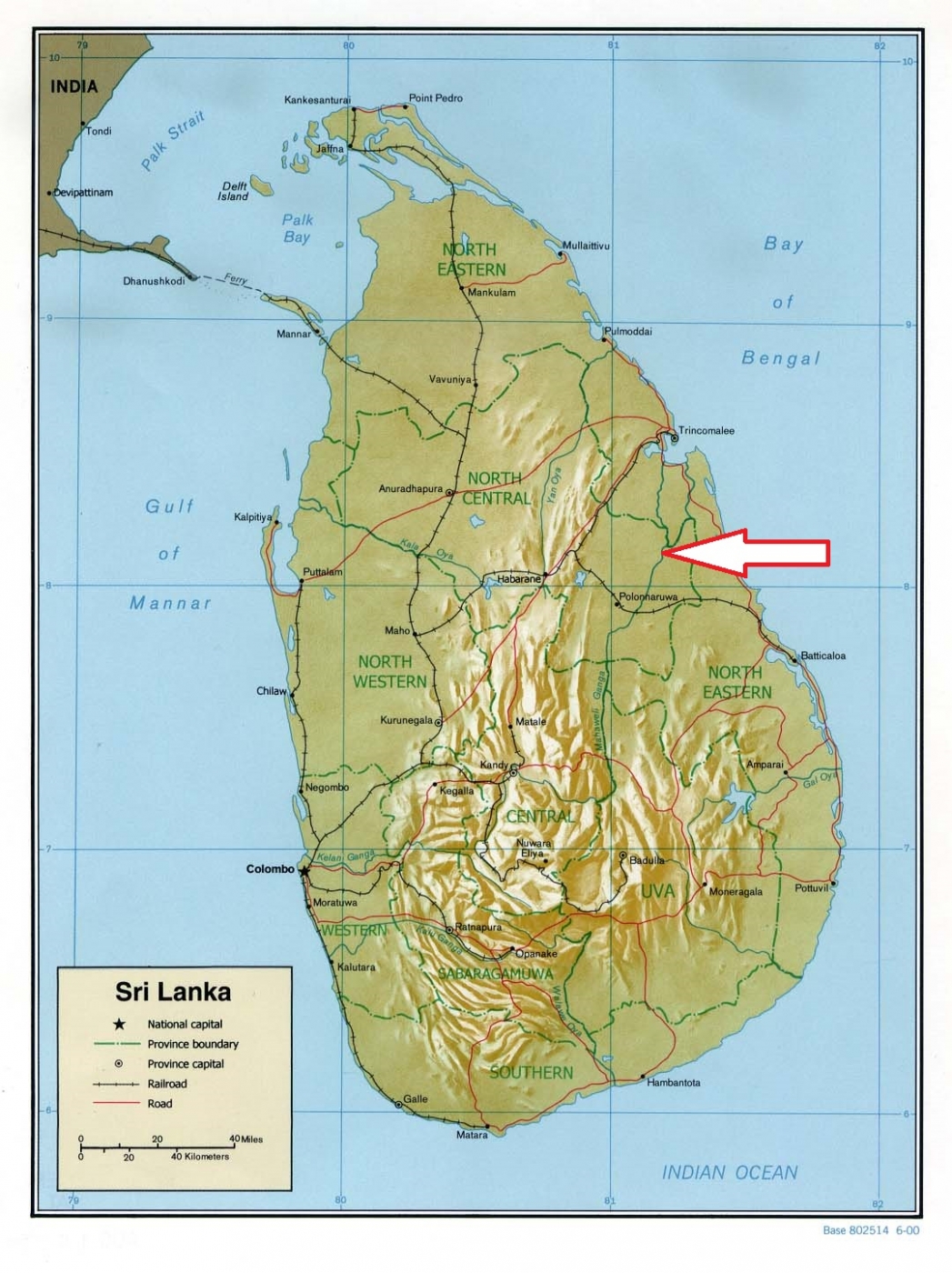
Basic ecotouristic information on Somawathiya National Park (Sri Lanka) - localization, access, characteristic, fauna and flora, possible activities.
Localization
North East Sri Lanka; 266 kilometres north east of Colombo.
Access
Easy. 40 km along the main road from Polonnaruwa via Sungawila which is the last town on the park border.
Characteristic
377 km2; The park is the continuation of Flood Plains National Park. Flat area in the deltaic flood plains of the Mahaweli River and contains the junction where it is forked into two branches. The first of them (Mahaweli River) flows north into Koddiyar bay and the lesser Verugal Oya which flows north-east into the sea. The central riparian flood plain is featured by many old river channels and contain dispersed 'villus', the waterfilled basins around among the grassy plains. There are 20 such villus is located in the park. Typical ecosystems: the north of the park is dominated by dry evergreen forest, while to the south ocurr grasslands. Extensive system of woodlands, lagoons, etc. Vital place for migratory and resident waterfowl.
Fauna + Flora
Species List - See the Attachment Below
(Species list may not be complete)
Possible activities
Jeep safari riding through the park.
Note
Walking tourism is not allowed.
Somawathiya Chaitya, a stupa said to be containing a relic of the tooth of the Buddha, is situated within the park.
