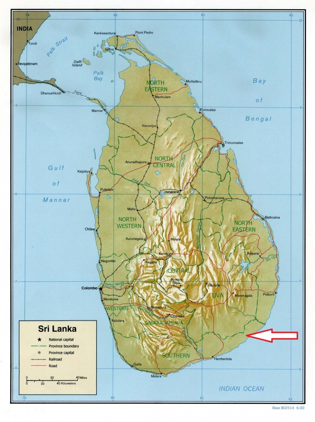
Basic ecotouristic information on Yala National Park (Sri Lanka) - localization, access, characteristic, fauna and flora, possible activities.
Localization
South East coast of Sri Lanka, 30 km east of Kataragama, 260 km south-east of Colombo.
Access
Easy, 40 minutes along a very good road from Kataragama.
Characteristic
979 km2;Park area is a flat and mildly undulating plain that runs to the coast with elevation is 30 metres close to the coast while rising in the interior to 100–125 metres. Rounded rocky outcrops and monolites in a few places in the park. The national park is situated in the dry semi-arid climatic region and rain is received mainly during the northeast monsoon. Typical ecosystems: moist monsoon forests, dry monsoon forests, semi deciduous forests, thorn forests, grasslands, sea and sea coast, wetlands, small freshwater or brackish lagoons, mangroves and sand dunes.
Fauna + Flora
Species List - See the Attachment Below
(Species list may not be complete)
Possible activities
Excellent birdwatching and nature observation conditions
Jeep safari riding through the park
Note
The most visited Sri Lanka National park, walking is not allowed.
The park was seriously damaged by the tsunami on December 26, 2004
Best time to visit VI-X; some parts of the park are accesible only during a dry season
Two important pilgrim sites, Sithulpahuwa and Magul Vihara, are situated within the park. Many places of archaeologist interest.
