Basic ecotouristic information on Abel Tasman National Park (New Zealand) - localization, access, characteristic, fauna and flora, possible activities.
Localization
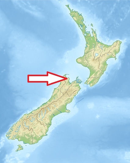
North end of the South Island, 20 km north of Motueka, north of valleys of Takaka and Riwaka rivers.
Access
Easy. The park is accessible by road at four points, each with a carpark:
Characteristic
225 km2, Smallest of New Zealand´s national parks. Forested hilly country and the sea coast of the Tasman bay, many coastal islets. Between Mean High Water and Mean Low Water Springs, the beaches are gazetted as a Scenic Reserve, covering 7.74 km² in total (about 70 km long). Wonderful landscape scenes - rocky outcrops of granite, limestone and marble. In Takaka Hill and Canaan Downs there are many karstic features include caves, sink-holes (dolines), disappearing streams, and karren (surface dissolution features). This karst includes some of the deepest caves in New Zealand (Green Link, approximately 360 m) deep, the deepest cave shaft in New Zealand (Harwoods Hole: 176 m vertical drop), and New Zealand's largest spring: Waikoropupu Springs, with a discharge averaging 15 m3/second. Typical ecosystems: secondary temperate zone forests (about 75% of total area - indigenous forest was cut off during human settlement process), freshwater ecosystems, sea and sea coast, karst biotopes.
Fauna + Flora
Species List - See the Attachment
Possible activities
Excellent conditions for waking - two main paths - first one, very famous, along the coast (Abel Tasman Coast Track), second one in park´s interior (Abel Tasman Inland Track)
Sea kayak, sailing, mountain bikes, swimming, camping.
Note
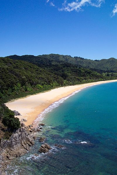
Beautiful sand beaches
Landscape of this national park is influenced more by human activities than other national parks of New Zealand.
