Basic ecotouristic information on Tongariro National Park (New Zealand) - localization, access, characteristic, fauna and flora, possible activities
Localization
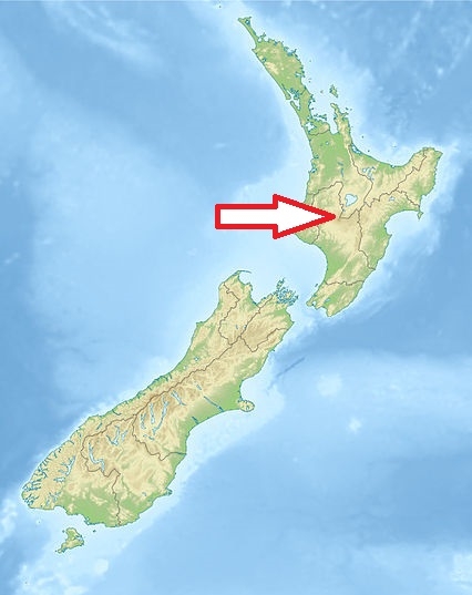
Central part of the New Zealand´s North Island. It is 330 km south of Auckland by road, and 320 km north of Wellington.
Access
Easy. The park includes many towns around its boundary including Ohakune, Waiouru, Horopito, Pokaka, Erua, National Park Village, Whakapapa skifield and Turangi. The bulk of Tongariro National Park is surrounded by well-maintained roads that roughly follow the park borders and provide easy access.
Characteristic
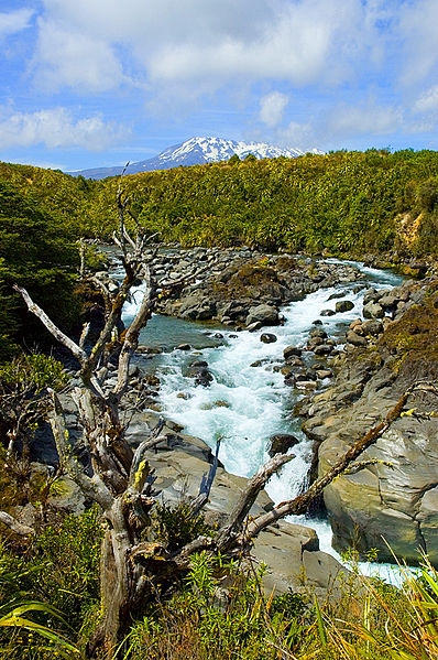
796 km2, It contains a considerable part of the North Island Volcanic Plateau. Altitude 500 - 2797 m (top of Ruapehu volcano). Isolated mountainous area. The active volcanic mountains Ruapehu, Ngauruhoe, and Tongariro are located in the centre of the park. Many volcanic activity effects - hot springs, lava flows, volcanic lakes. Rough and partially unstable ecosystems. Typical ecosystems: temperate zone forests, freshwater ecosystems, mountainous and alpine ecosystems, volcanic biotopes. Only lichens above 2 200 m level.
Fauna + Flora
Species List - See the Attachment Below
Possible activities
Excellent trekking - the net of tracks from short up to six days one; there lies one of the most famous New Zealand trekking path.
The Tongariro National Park is home to the famed Tongariro Alpine Crossing, widely regarded as one of the world's best one-day hikes.
Mountaineering, skiing, rafting, mountain bikes, horse riding, fishing, scenic flights.
Note
The park is included into the List of the Natural Heritage UNESCO
Extraordinary beautiful landscape
Exteriers were used for shooting the The Lord of the Rings film trilogy.
There are a number of Māori religious sites within the park
