Basic ecotouristic information on Conguillío National Park (Chile) - localization, access, characteristic, fauna and flora, possible activities.
 Localization
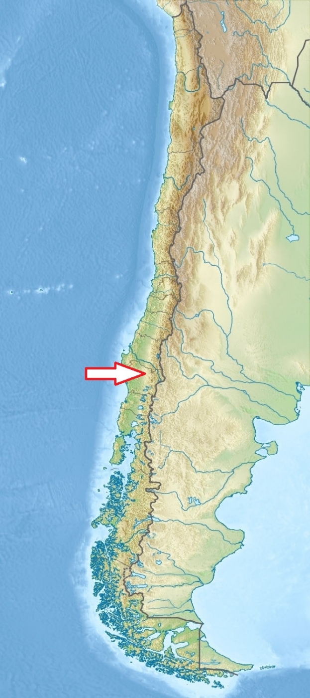
South Chile (provinces of Cautín and Malleco), 120 km northeast of Temuco
Access
Easy - by car.
Sector Los Paraguas: This sector is accessed via the route that connects the towns of Cajón, Vilcún and Cherquenco.
Sector Conguillío: The park can be accessed from Chile Route 181 from Curacautín.
Sector Melipeuco: Here is located the main park entrance, which is reached via a road that begins in Temuco and that passes through the towns of Cunco and Melipeuco.
Characteristic
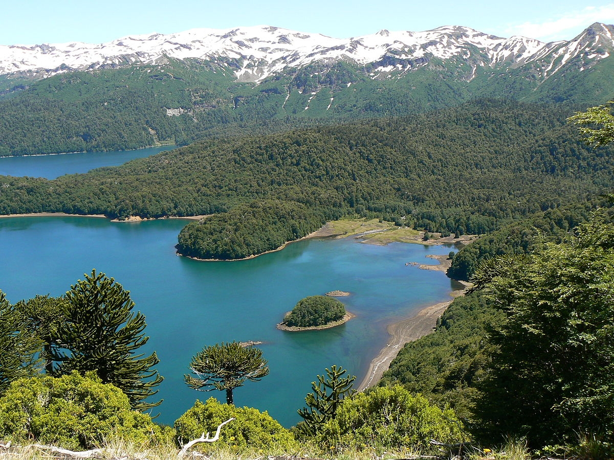
608 km2; Mountanious region of southern foothills of the Andes including one of the most active volcanoes in South America - Llaima volcano (3 125 m) and Sierra Nevada ridge (2 554 m). Wild landscapes characterized by islands of vegetation completely surrounded by vast areas of basaltic to andesitic lava flows. There are areas, not easily accessible, where pure araucaria forests are almost 1,200 years old. The oldest tree is more than 1800 years old. Typical ecosystems: large areas of temperate zone forests, freshwater ecosystems (lakes and lagoons of volcanic origin, rivers), volcamic and alpine biotopes.
Fauna + Flora
Species List - See the Attachment Below
(Species list may not be complete)
Possible activities
Excellent conditions for walking and mountain trekking - network of well marked paths and trails, camping sites
Fishing, swimming (?), skiing, mountaineering, horseback ridings, bicycle ridings, rowing boats .
Note
Landscape of extraordinary scenic beauty; snow reaches up to three meters even in lower sectors during winter
Park Conguillío was used in the BBC television series Walking with dinosaurs.
Best time to visit XI-III