Basic ecotouristic information on Llanos de Challe National Park (Chile) - localization, access, characteristic, fauna and flora, possible activities.
 Localization
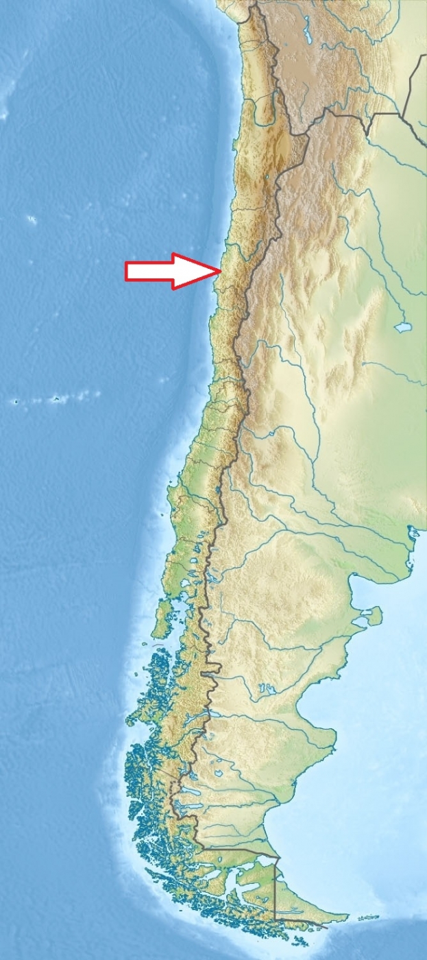
Northern Chile, 40 km northwest of Huasco and 60 km north of Vallenar.
Access
Easy. Park can be reach from Vallenar either through Huasco and then following the coastal road north or one can drive north for about 18 km. from Vallenar on the Panamerican Highway and then turn left (the exit is well-marked).
Characteristic
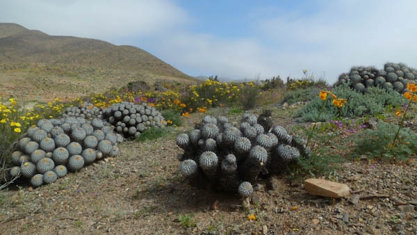
457 km2;Hilly to low mountains coastal region. Its highest elevation is Cerro Negro at 950 m. The park's mountains are moistened by the Camanchaca, creating a fog and mist-fed ecosystem called lomas (Spanish for "hills."). The park is one of the southernmost locations of the lomas which are scattered along the coastal desert from northern Chile to northern Peru. This fragile coastal desert ecosystem is habitat for very rare xerophytic phytocenoses. The park is one of the best place for contemplating the natural phenomenon known as Desierto Florido (Flowery Desert), which occurs occasionally as a consequence of El Niño-Southern Oscillation every couple of years, usually between August and October. Typical ecosystems: coastal desert, sand dunes, wetlands, sea and sea coast.
Fauna + Flora
Species List - See the Attachment Below
(Species list may not be complete)
Possible activities
9 km long a round trekking, with a difference in level of 700 m high and medium degree of difficulty.
Nature observation
Note
4x4 vehicle is recommended for driving inside the park
Contact us
Do you like any information on the national park mentioned above or would you like to join us while travelling there? Please, fill up the attached form