Basic ecotouristic information on Llullaillaco National Park (Chile) - localization, access, characteristic, fauna and flora, possible activities.
 Localization
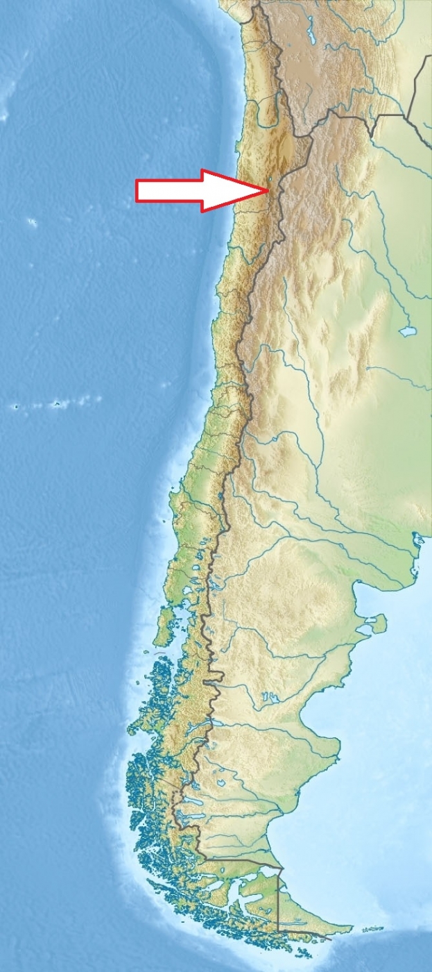
North Chile; 275 km southeast of Antofagasta
Access
Moderately easy. There is a 57 km long road that goes by the side of the Domeyko Cordillera range which starts at the crossing of the Baquedano - Peine route.
Characteristic
2687 km2; High mountainous region between the eastern slopes of the Cordillera Domeyko and the international border with Argentina. In the park there are several important mountains that culminate at the summit of Llullaillaco stratovolcano (6739 m). Typical ecosystems: extensive steppe and semi-desert plains, alpine biotopes, volcanic biotopes, salt flats, freshwater ecosystems.
Fauna + Flora
Species List - See the Attachment Below
(Species list may not be complete)
Possible activities
High mountains trekking - network of footpaths, quite difficult
Mountaineering; off road excursions
Note
Park has no touristic infrastructure
To access this area,the travel must be programmed and have official permission for mountaineering from the CONAF
Archeological sites - a part of the Inca road system is found in Río Frío area; mummies of Inca children on the summit of volcano
Accessible all the year round.
Contact us
Do you like any information on the national park mentioned above or would you like to join us while travelling there? Please, fill up the attached form