Basic ecotouristic information on Nahuelbuta National Park (Chile) - localization, access, characteristic, fauna and flora, possible activities.
 Localization
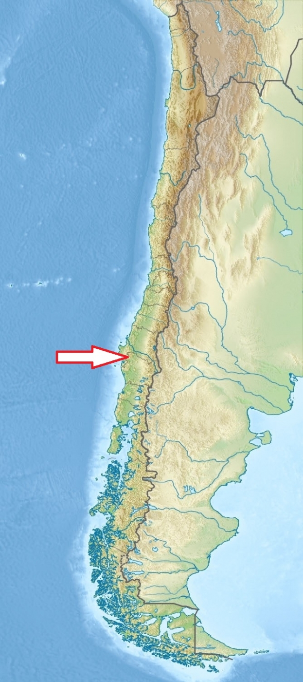
South Chile, 35 km northwest of Angol, 132 km northwest of Temuco
Access
Access to the park is easy in spring and summer but for the rest of the year you should use a four-wheel-drive vehicle. Along the good road from Los Ángeles or Collipulli to Angol and then along the provincial road to Vegas Blancas and to the park entrance.
Characteristic
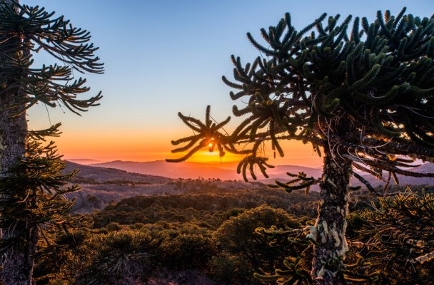
68 km2; Mountainous area - pre-Andean plain and the Cordillera de Nahuelbuta, with elevations not exceeding 1,560 m. Mounatin range is located along the Pacific coast and forms part of the larger Chilean Coast Range.The mountains provide suitable conditions for the araucaria to grow, some specimens calculated to be around 2 thousand years old. Typical ecosystems: temperate zone forests, wetlands (bogs), freshwater ecosystems (lakes, rivers, creeks).
Fauna + Flora
Species List - See the Attachment Below
(Species list may not be complete)
Possible activities
Very good conditions for walking - marked trails, camping
Mountaineering, horseback riding
Note
The park features 30 roads and 15 trails which you can explore by car or on foot.
Accessible whole the year round