Basic ecotouristic information on Nevado Tres Cruces National Park (Chile) - localization, access, characteristic, fauna and flora, possible activities.
 Localization
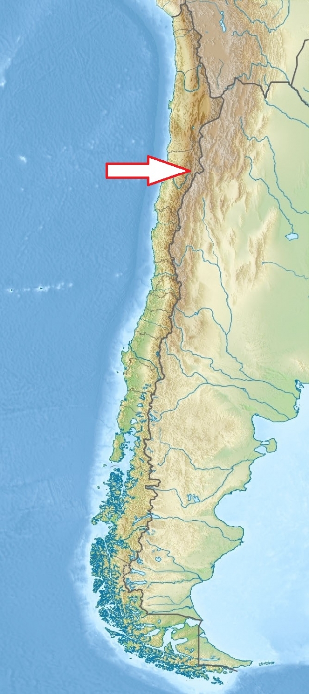
North Chile, about 150 km northeast of Copiapó
Access
Easy. From Copiapó, through the international road, which goes by Paipote canyon to La Puerta and from there to Portezuelo de Santa Rosa, arriving to Santa Rosa Lagoon’s side. To reach Negro Francisco Lagoon follow the same route but continue up to the south west side of Maricunga Salt flat following the road which leads to Rio Astaburuaga’s canyon by Valle Ancho (Wide Valley) and then to Negro Francisco Lagoon.
Characteristic
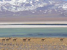
591 km2; High mountains national park is named after Nevado Tres Cruces, which dominates the landscape of the area. The park includes two high mountain brackish lagoons (Laguna Santa Rosa - 3715 mts asl. and Laguna del Negro Francisco - 4200 mts. asl.) without any visible drainage and salt flat Salar de Maricunga (8 300 ha) at an altitude of 3,700 meters. The park is divided into two zones, the larger northern zone encompassing the southern portion of Salar de Maricunga, Laguna Santa Rosa and Lamas River, and the smaller southern area the Laguna del Negro Francisco and the Astaburuaga River mouth. Wetlands in the park are very important global centers for the conservation of migratory birds. Typical ecosystems: alpine and volcanic biotopes, high mountains lakes and rivers, wetlands, semidesert, salinas.
Fauna + Flora
Species List - See the Attachment Below
(Species list may not be complete)
Possible activities
Trekking - several well marked trails
Mountaineering, mountain bikes.
Note
The park is open from October to April from 8 in the morning to 6 in the afternoon.
Archaeological finding sites
The world's highest volcano, and the highest peak in Chile, Ojos del Salado, (6,893 meters) is located in its vicinity.
Contact us
Do you like any information on the national park mentioned above or would you like to join us while travelling there? Please, fill up the attached form