Basic ecotouristic information on Puyehue National Park (Chile) - localization, access, characteristic, fauna and flora, possible activities.
 Localization
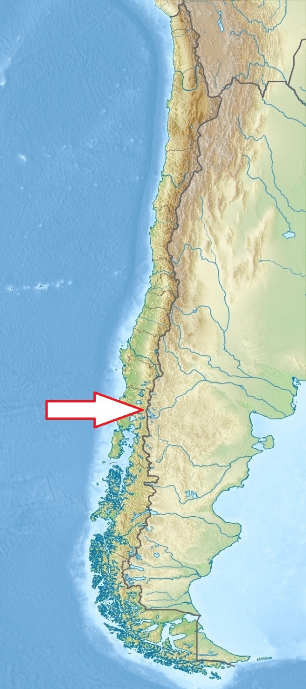
South Chile, Lake District, 180 km northeast of Puerto Montt, or 75 km east of Osorno.
Access
Easy. Chile Route 215 from Osorno passes through the park.
Characteristic
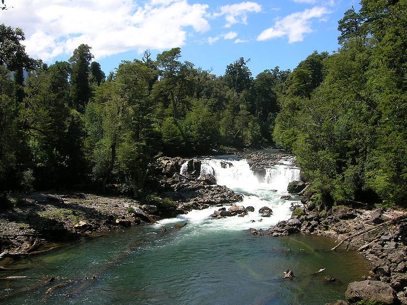
1 068 km2; Mountainous region of Central Andes range. The park altitude varies between 250 to 2236 meters and is dominated by Puyehue stratovolcano, Cordón Caulle and Antillanca Group. The relief of Puyehue National Park is the result of intense glacier processes and the volcanic action. The park is divided into three main areas: Aguas Calientes, Anticura, and Antillanca. Typical ecosystems: temperate zone forest (Valdivian rain forest), freshwater ecosystems (lakes and rivers), mountain wetlands (bogs), alpine and volcanic biotopes. There are many waterfalls in the park.
Fauna + Flora
Species List - See the Attachment Below
(Species list may not be complete)
Possible activities
Excellent conditions for walking and trekking - network of paths and trails
Fishing, mountaineering, swimming, horseback riding, snowboarding, mountain bike riding, downhill skiing, cross country skiing.
Alpine skiing resort.
Note
The park is Chile’s most visited national park with 400,000 people enjoying it each year.
Best time to visit X-II.
Hot springs
Contact us
Do you like any information on the national park mentioned above or would you like to join us while travelling there? Please, fill up the attached form