Basic ecotouristic information on Torres del Paine National Park (Chile) - localization, access, characteristic, fauna and flora, possible activities.
 Localization
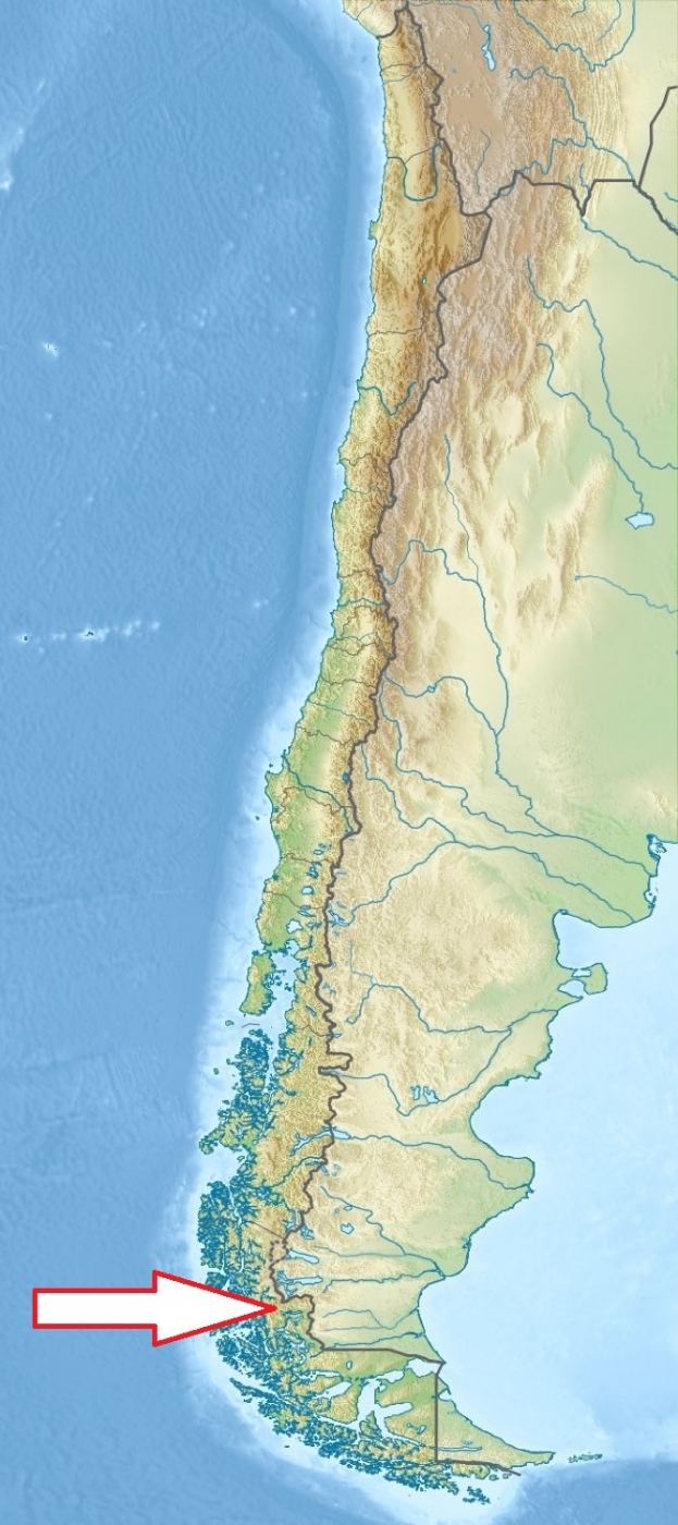
South Chile; 112 km north of Puerto Natales and 400 km north of Punta Arenas.
Access
Easy. The park can be reached by Chile Route 9, which is paved and connects Punta Arenas and Puerto Natales and continues as an asphalt road for 100 km and then becomes a gravel road.
Characteristic
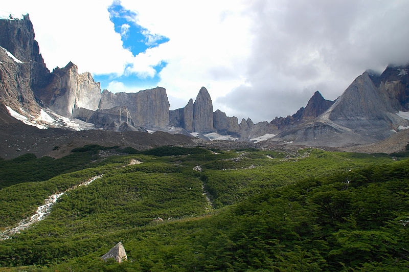
2 400 km2; Mountainous region with lots of lakes, rivers and glaciers. Southern Patagonian Ice Field mantles a great portion of the park. Remarkable rocky massifs rising dramatically above the Patagonian steppe The Torres del Paine are the distinctive three granite peaks (so called Horns) of the Paine mountain range or Paine Massif. They extend up to 2,500 metres above sea level, and are joined by the Cuernos del Paine. It lies in a transition area between the Magellanic subpolar forests and the Patagonian Steppes. Open country comprises about 80 % of the park's surface. Typical ecosystems: Patagonian steppe, Pre-Andean shrubland (bush), Magellanic deciduous forest (temperate zone), alpine biotopes, freshwater ecosystems and Andean Desert.
Fauna + Flora
Species List - See the Attachment Below
(Species list may not be complete)
Possible activities
Excellent conditions for walking and trekking - network of well marked pathwaysfor one or several days trips
Kayak, rafting, mounaineering, fishing, horse back riding.
Note
Declared Biosphere Reserve by the UNESCO
Hikers are not allowed to stray from the paths.
Extraordinary beautiful landscape
Park is accessible all the year round, best time to visit XI-IV
It is one of the largest and most visited parks in Chile.
Contact us
Do you like any information on the national park mentioned above or would you like to join us while travelling there? Please, fill up the attached form