Basic ecotouristic information on Yendegaia National Park (Chile) - localization, access, characteristic, fauna and flora, possible activities.
 Localization
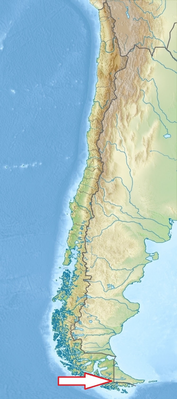
Tierra del Fuego. It stretches from the Darwin Range to the Argentine border and from the Beagle Channel to Fagnago Lake.
Access
Moderately easy. The park can be reached by sea from Puerto Williams, or by road along the Y-85 route south from Porvenir.
Characteristic
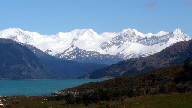
1,480 km2; The landscape is composed of mountains, glaciers, lakes, canals, rivers and fjords south of the Azopardo River. Yendegaia creates a contiguous ecological corridor between Chile’s Alberto de Agostini National Park and Argentina’s Tierra del Fuego National Park. Classified as subpolar oceanic climate, the weather in this region is variable and often with heavy rain. In winter, from June to September, the temperature can drop to 11° Celsius below zero. In summer, temperatures occasionally reach 24° Celsius. Typical ecosystems: Valdivian temperate rain forest, alpine biotopes, freshwater ecosystems, sea and sea coast.
Fauna + Flora
Species List - See the Attachment Below
(Species list may not be complete)
Possible activities
Trekking. Official trails have not yet been created, but there are many non-official trails with various levels of difficulty starting from both the end of the Y-85 and from Fagnago Lake.
Note
Remote national park with scenic landscape.
Park is made up of 111,832 ha of state owned land and 38,780 ha of the privately owned Estancia Yendegaia.