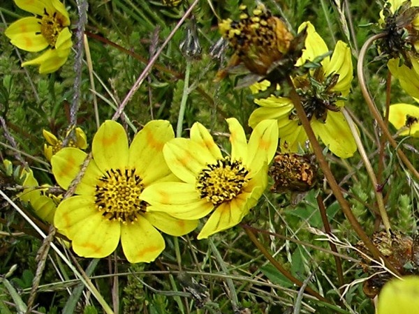
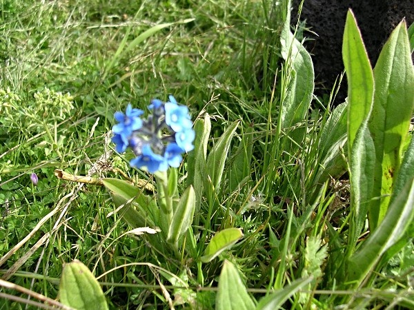
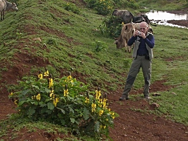
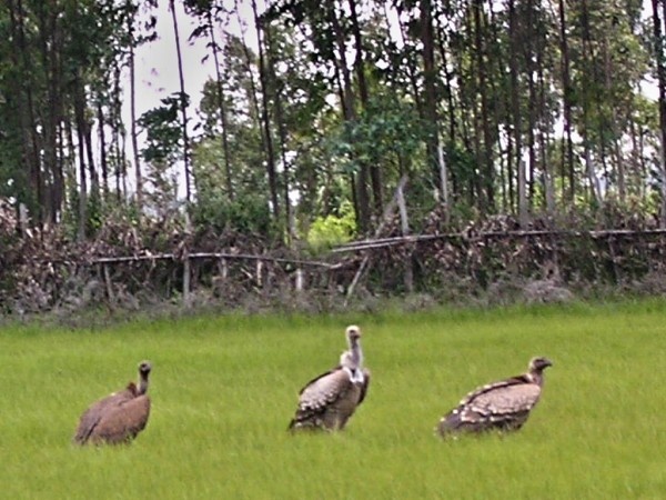
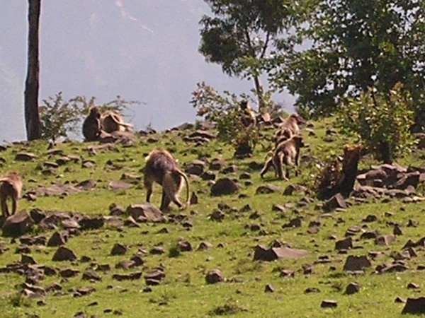
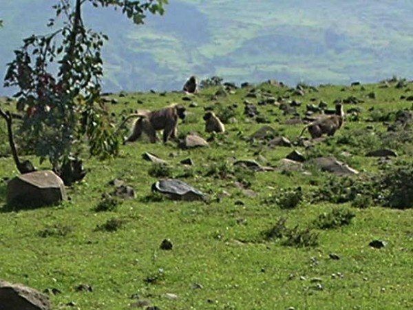
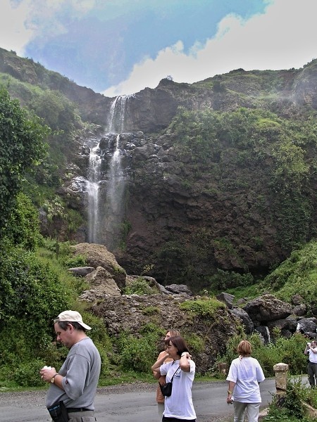
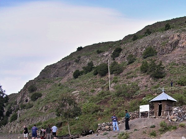
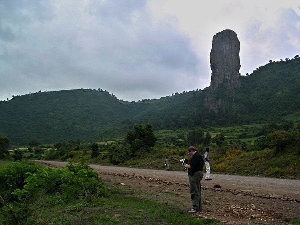
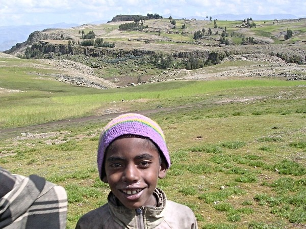
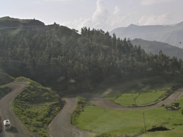
Photogallery of pictures taken during journeys and expeditions to the area of Central Highlands (Ethiopia).
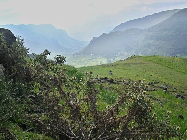
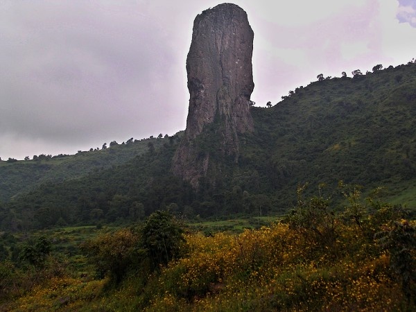
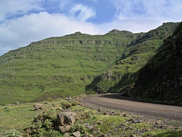
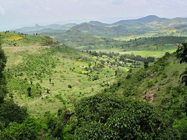
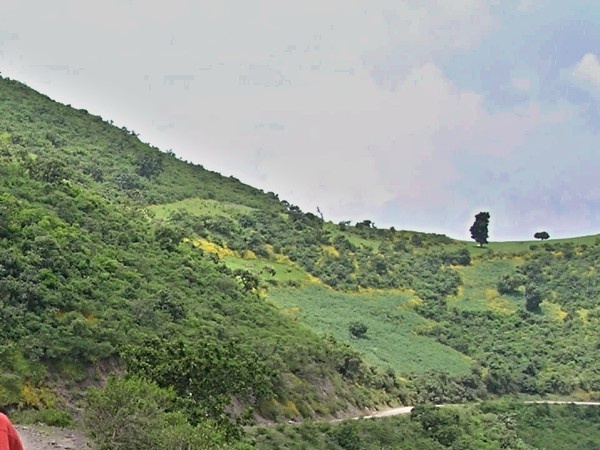
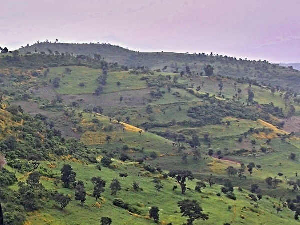
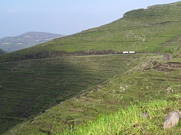
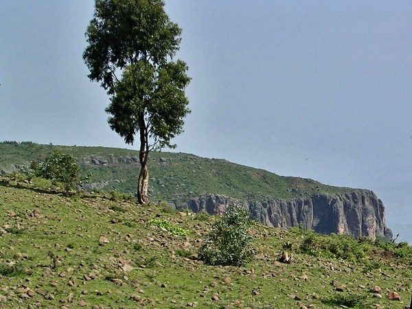
The Ethiopian Highlands is a rugged mass of mountains in Ethiopia. It forms the largest continuous area of its altitude in the continent, with little of its surface falling below 1500 m, while the summits reach heights of up to 4550 m. It is sometimes called the Roof of Africa due to its height and large area. Most of the Ethiopian Highlands are part of central and northern Ethiopia, and its northernmost portion reaches into Eritrea.
The Highlands are divided into northwestern and southeastern portions by the Main Ethiopian Rift, which contains a number of salt lakes. The northwestern portion, which covers the Tigray and Amhara Regions. Lake Tana, the source of the Blue Nile, also lies in the northwestern portion of the Ethiopian Highlands.
The southeastern portion's highest peaks are located in the Bale Zone of Ethiopia's Oromia Region.
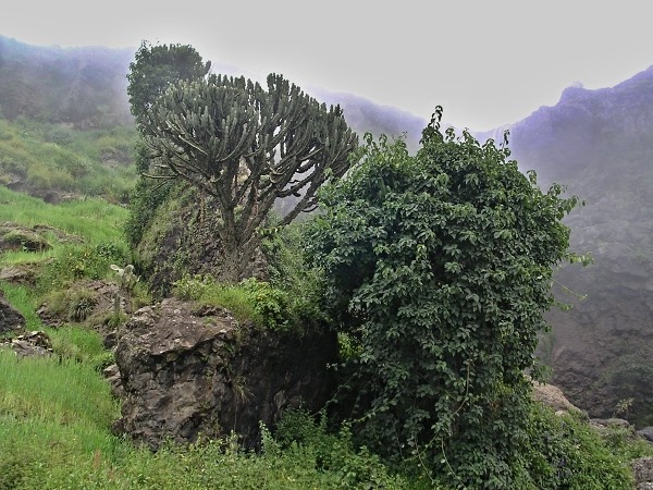
The highlands themselves are divided into three distinct ecoregions, distinguished by elevation. The Ethiopian montane forests lie between 1,100 and 1,800 meters elevation, above the lowland grasslands and savannas and extends to areas of similar habitat in Eritrea, Sudan, and Djibouti. The Ethiopian montane grasslands and woodlands is much the largest of the highland ecoregions, occupying the area between 1800 and 3000 meters elevations. Finally, above 3000 meters elevation lie the high Ethiopian montane moorlands, the largest afroalpine region in Africa. The montane moorlands lie above tree line.
If you have any questions to joureys/expeditions to area of Ethiopian Central Highlands or any comment to a photogallery use the information form attached below.