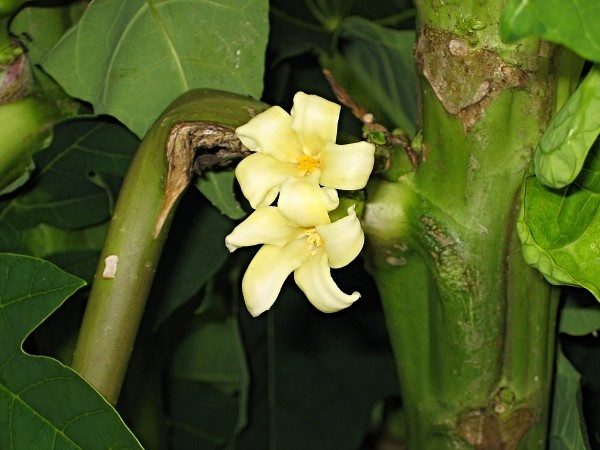
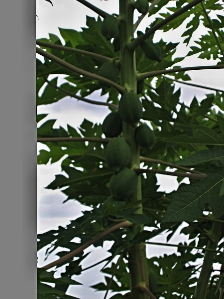
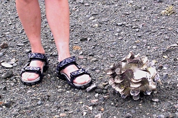
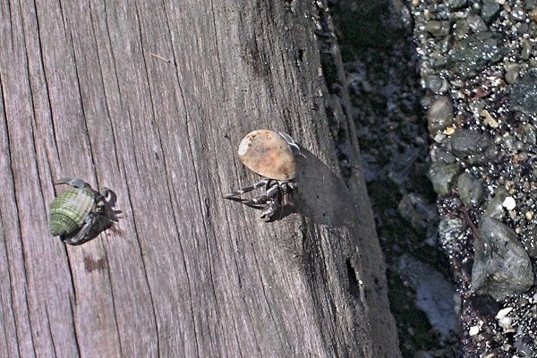
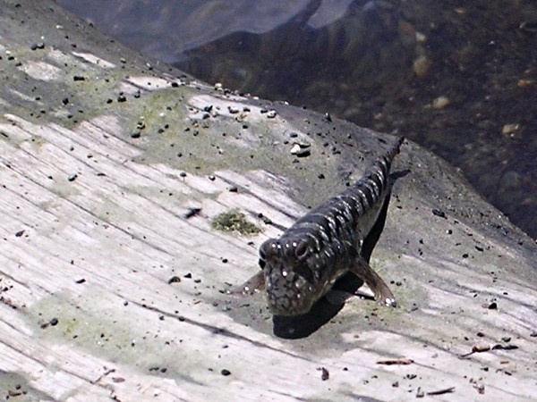
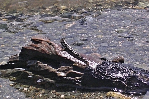
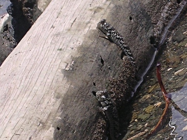
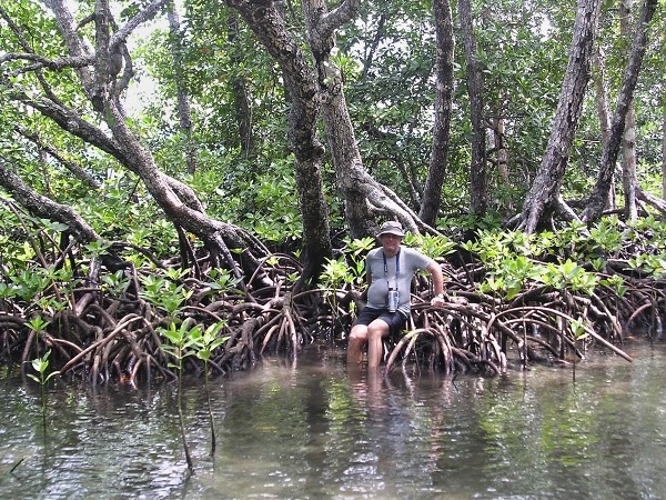
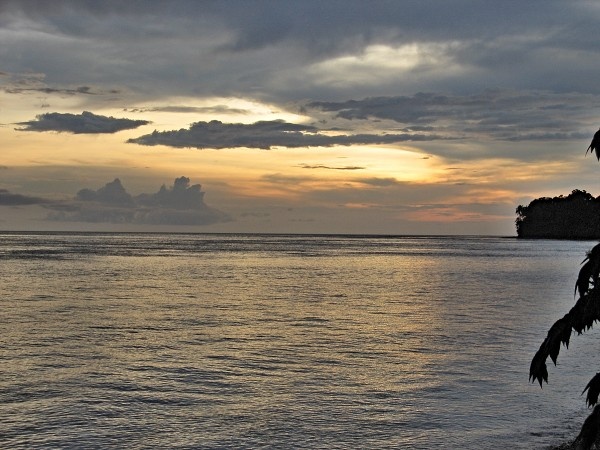
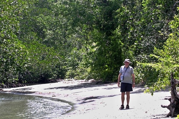
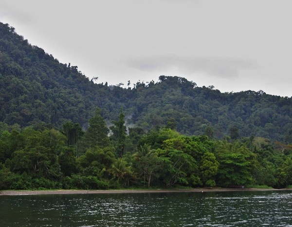
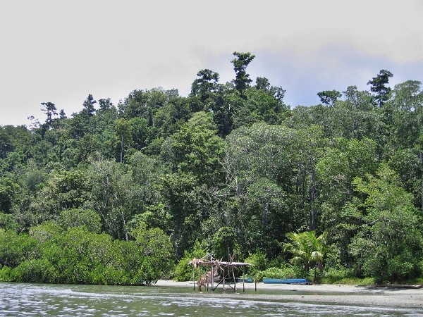
Photogallery of pictures taken during journeys and expeditions to Batanta Island (Indonesia, Papua).
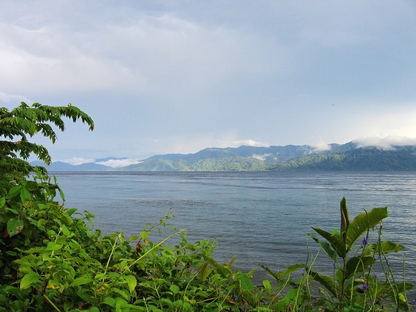
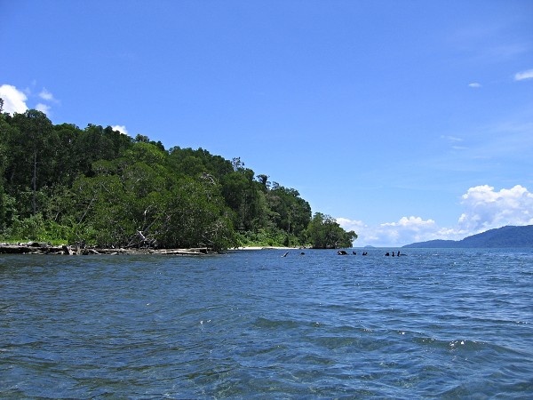
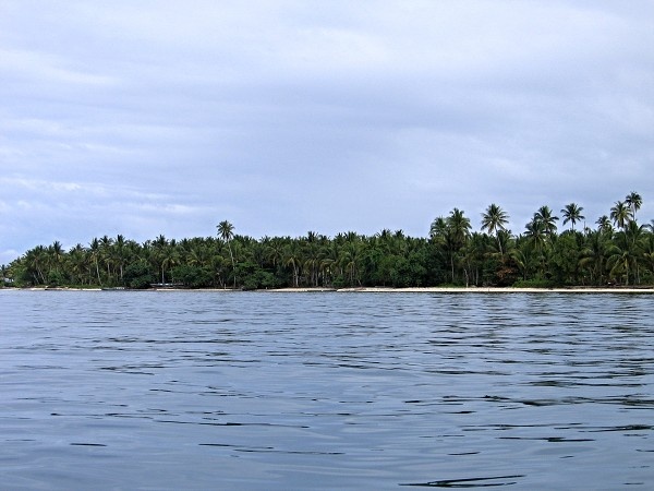
Batanta is the smallest island of the four major islands in the Raja Ampat Islands in Papua province, Indonesia, just west of the mainland city of Sorong. Its area is 453 km² and its highest point is 1184 m. The Pitt Strait separates it from Salawati, while the Dampier Strait separates it from Waigeo.
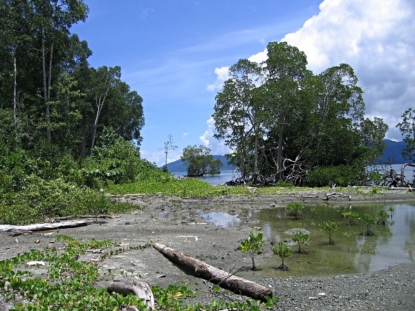
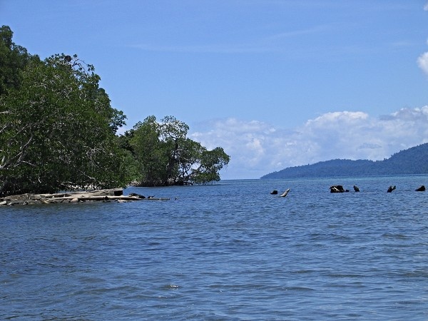
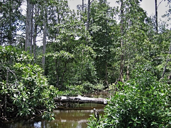
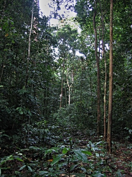
Most of the island is made up of rugged mountains covered with dense rainforest.
If you have any questions to joureys/expeditions to Batanta Island or any comment to a photogallery use the information form attached below.