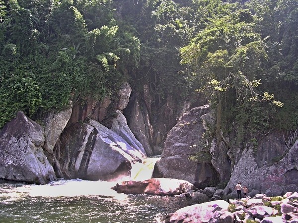
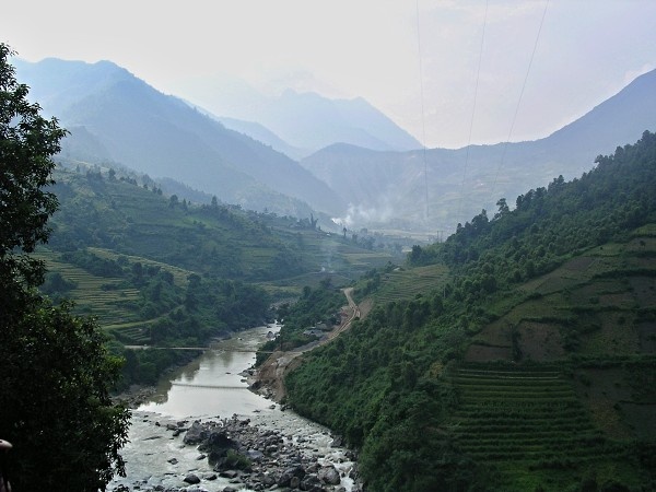
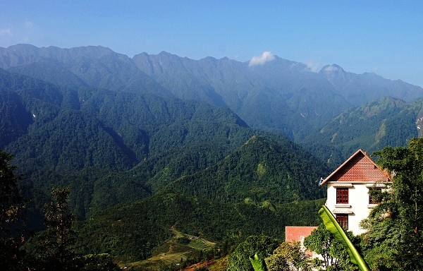
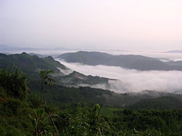
Photogallery of pictures taken during journeys and expeditions to Sapa and its surroundings (Vietnam).
Sapa, is a frontier town and capital of Sa Pa District in Lào Cai Province in northwest Vietnam. It lies 380 km north-west of Hanoi, close to the border with China. Sapa is one of the main market towns in the area, where several ethnic minority groups such as Hmong, Dao (Yao), Giáy, Pho Lu, and Tay live. The total population is about 36,000 inhabitants.
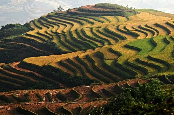
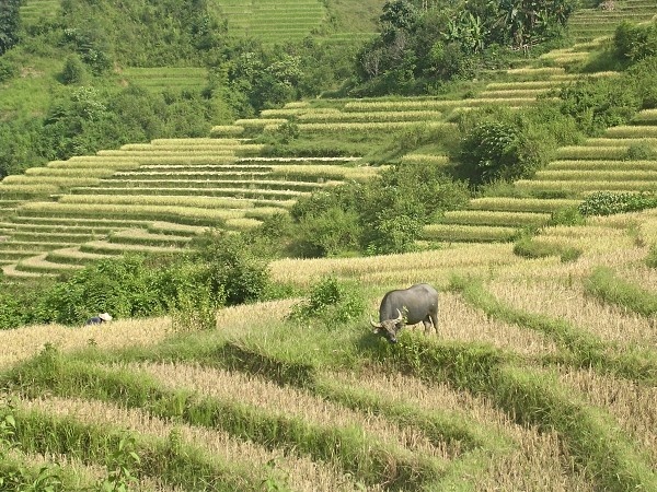
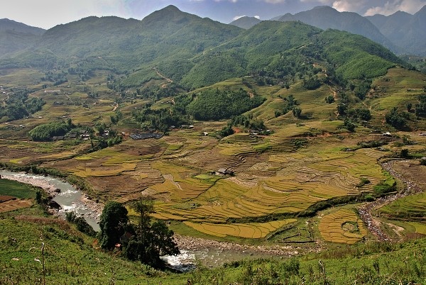
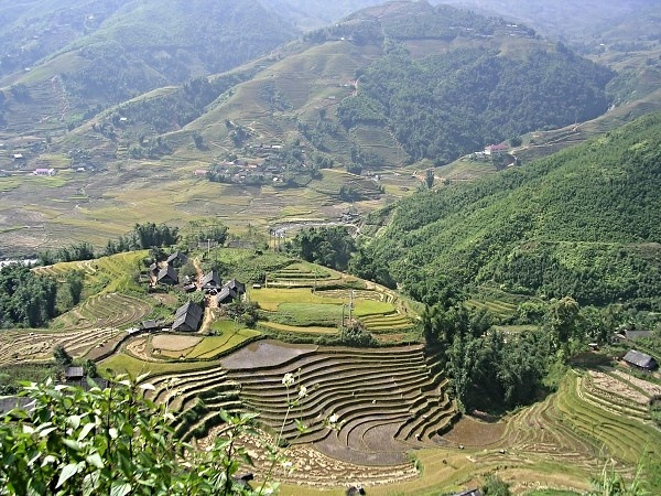
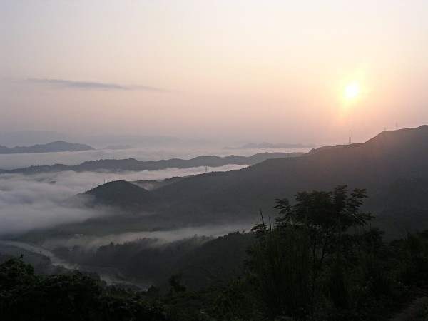
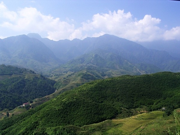
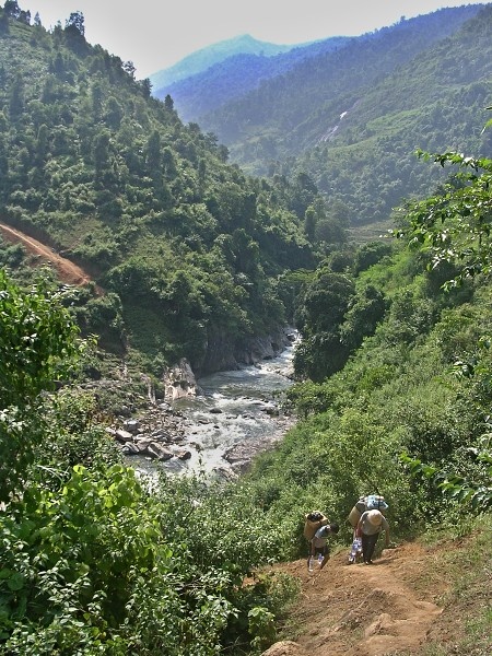
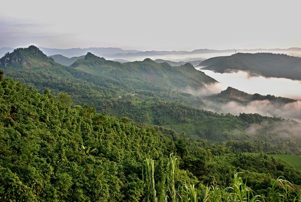
The Hoang Lien Son range of mountains dominates the district, which is at the eastern extremity of the Himalayas. This range includes Vietnam's highest mountain, Fan Si Pan, at a height of 3143 m above sea level. The town of Sa Pa lies at an altitude of about 1500 meters above sea level. The climate is moderate and rainy in summer (May—August), and foggy and cold with occasional snowfalls in winter. The flanks of the mountains are very steep and many areas are almost inaccessible on foot. Between Fan Si Pan Mountain and Sapa town, lies the Muong Hoa valley, which has been terraced for wet rice agriculture. This valley becomes wider towards the east.
The geographical location of the area makes it a truly unique place for many interesting plants and animals, allowing it to support many inhabitants. Many very rare or even endemic species have been recorded in the region.
Forest type and quality change with increasing altitude. At 2000 meters the natural, undisturbed forest begins to be seen. Above 2500 meters dwarf conifers and rhododendrons predominate in the harsh “elfin forest”, so called because a lack of topsoil and nutrients means that fully mature trees grow to measure only a few meters in height. Higher still, only the hardiest of plant species are found. At over 3000 meters, Fan Si Pan's summit can only support dwarf bamboo.
If you have any questions to joureys/expeditions to the city of Sapa and its surroundings or any comment to a photogallery use the information form attached below.