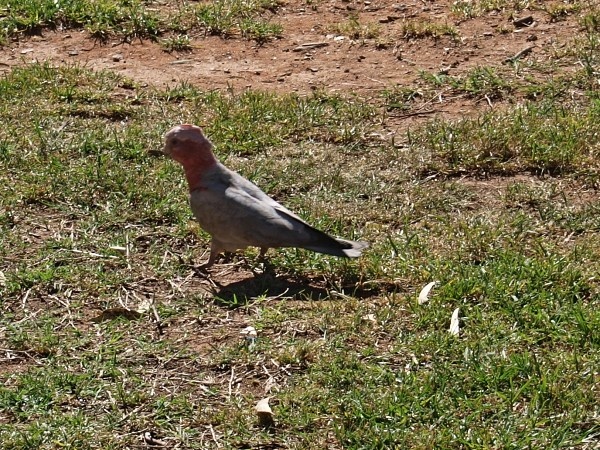
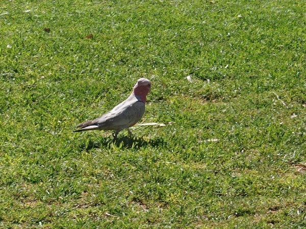
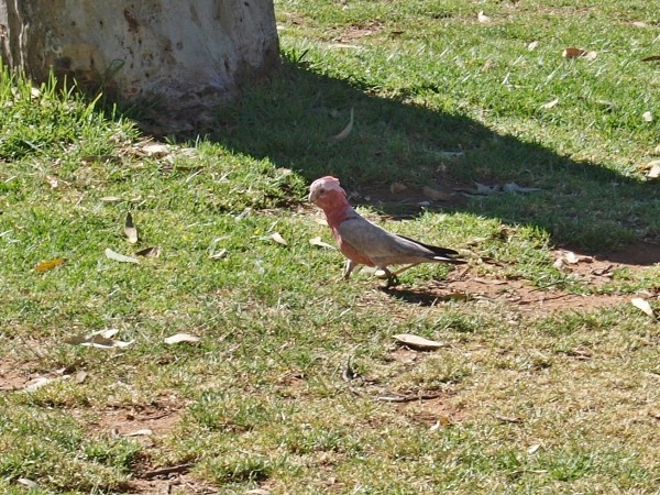
Photogallery of pictures taken during journeys to Alice Springs (Australia, Northern Territory).
Alice Springs is the third largest town in the Northern Territory, Australia. It is situated in the geographic centre of Australia.
The town straddles the usually dry Todd River on the northern side of the MacDonnell Ranges. The surrounding region is known as Central Australia, or the Red Centre, an arid environment consisting of several different deserts. In Alice Springs temperatures can vary dramatically, with an average maximum temperature in summer of 35.6 °C and an average minimum temperature in winter of 5.1 °C.
The region around Alice Springs is part of the Central Ranges xeric scrub area of dry scrubby grassland and includes the MacDonnell Ranges which run east and west of the city and contain a number of hiking trails and swimming holes such as Ormiston Gorge, Ormiston Gorge Creek, Red Bank Gorge and Glen Helen Gorge. The 223-kilometre-long Larapinta Trail follows the West MacDonnell Ranges and is considered among the world's great walking experiences.
The Simpson Desert, south-east of Alice Springs is one of Australia's great wilderness areas containing giant red sand dunes and interesting rock formations such as Chambers Pillar and Rainbow Valley.
If you have any questions to joureys to Alice Springs or any comment to a photogallery use the information form attached below.