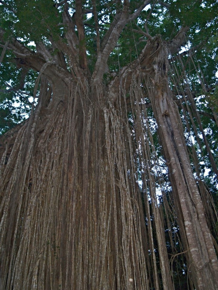
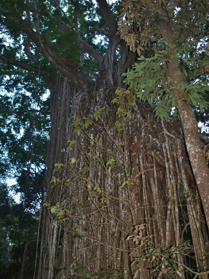
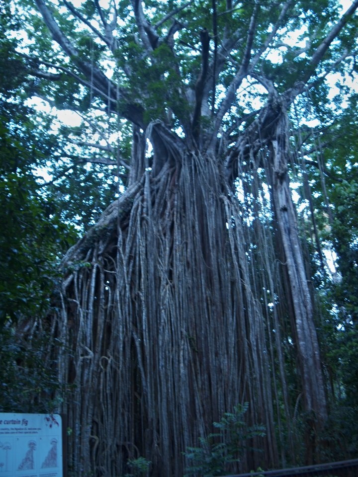
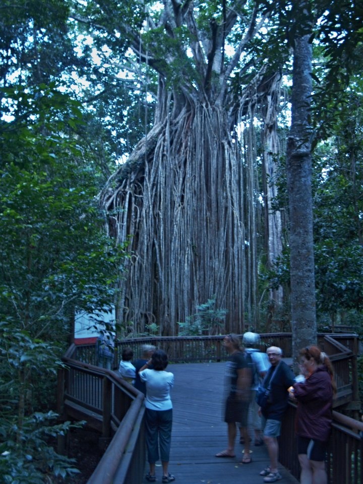
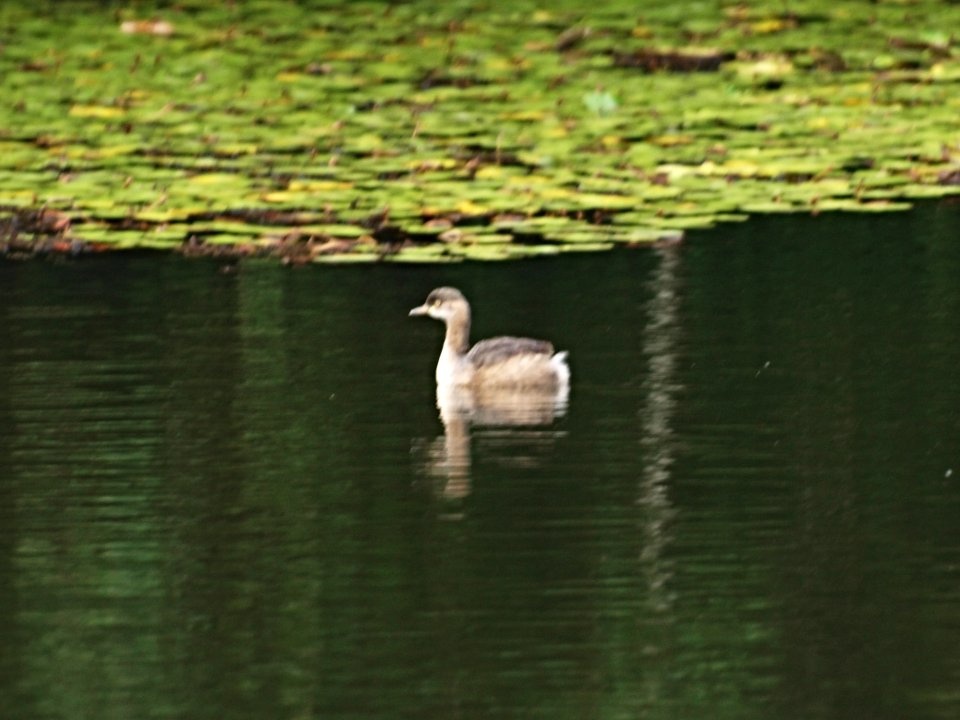
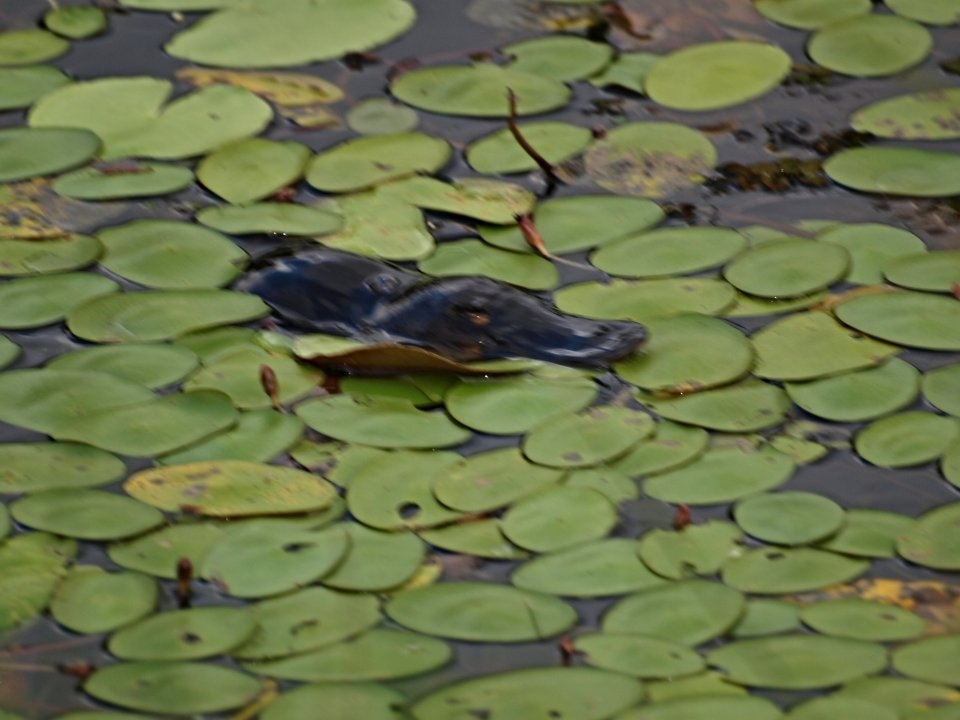
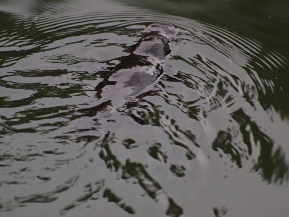
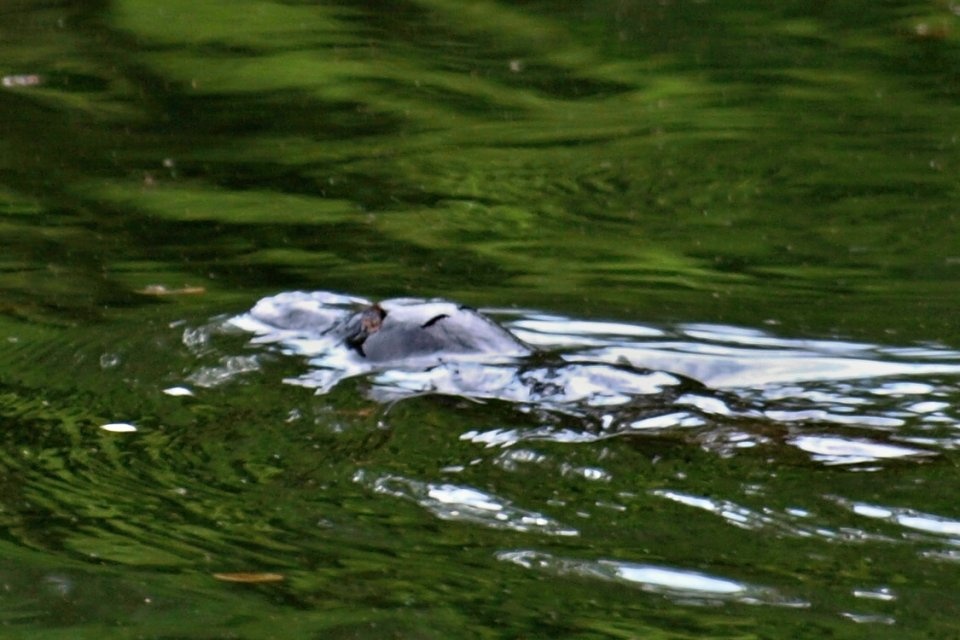
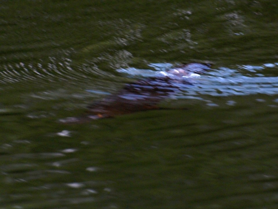
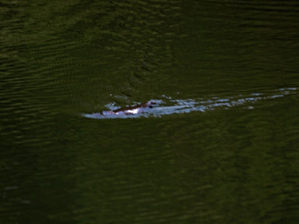
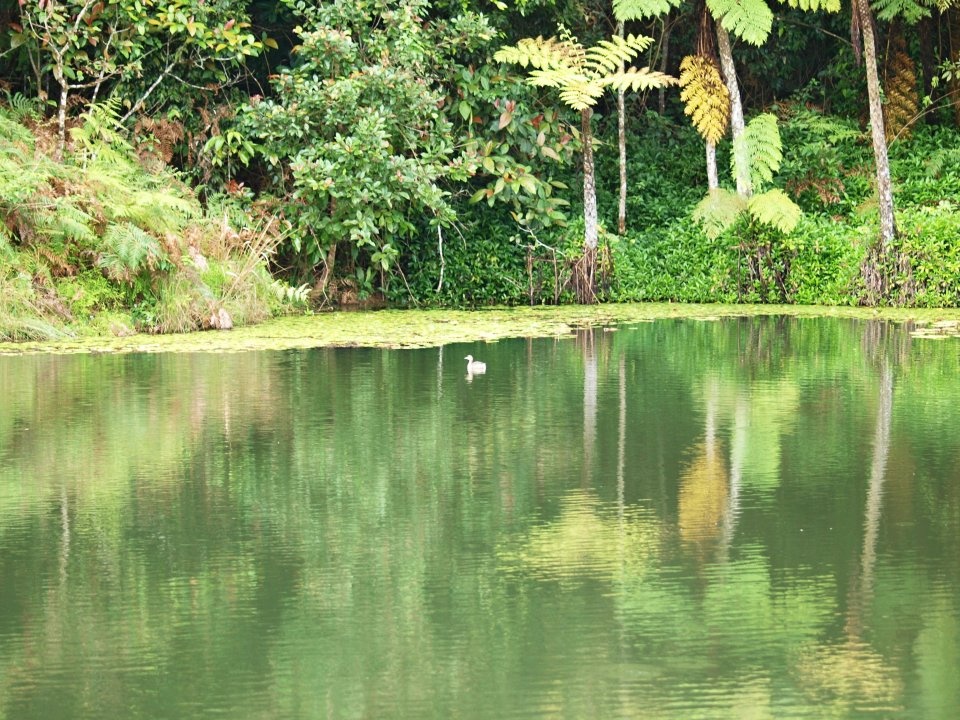
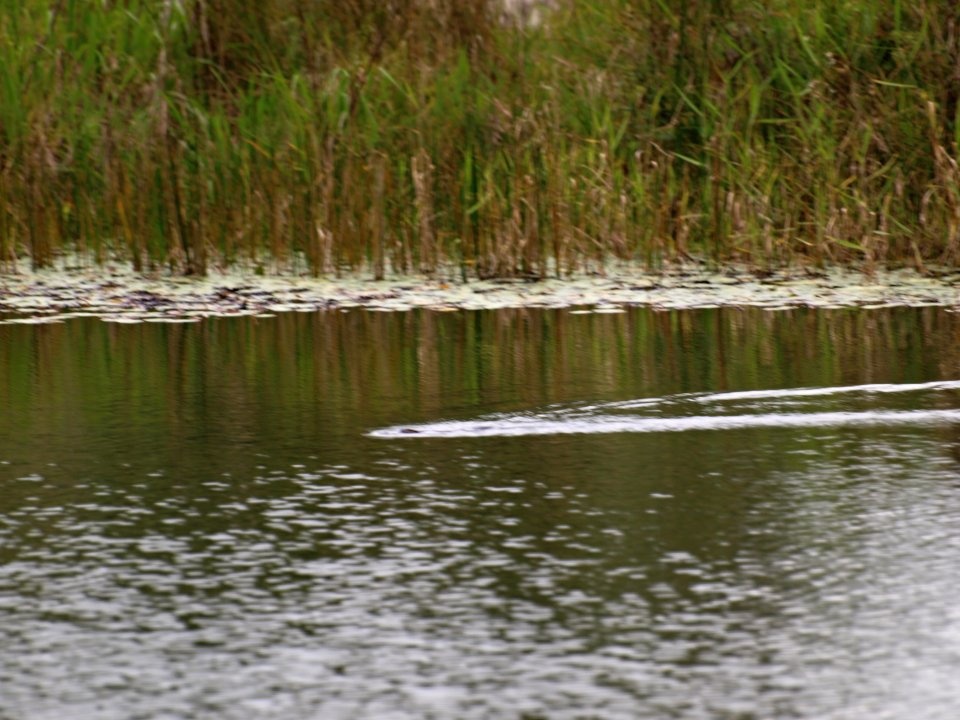
Photogallery of pictures taken during journeys and expeditions to Atherton Tableland (Australia, Queensland).
The Atherton Tableland is a fertile plateau which is part of the Great Dividing Range. It is located west to south-south-west inland from Cairns. It has an area of around 32,000 km2 with an altitude ranging between 500 and 1,280 m. The fertility of the soils in the region can be attributed to the volcanic origins of the land.
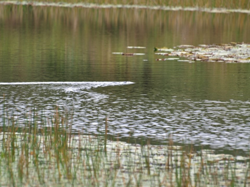
The principal river flowing across the plateau is the Barron River
If you have any questions to joureys/expeditions to Atherton Tableland or any comment to a photogallery use the information form attached below.