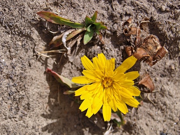
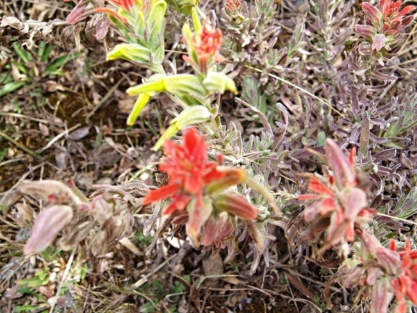
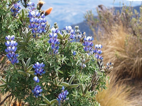
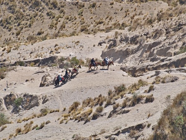
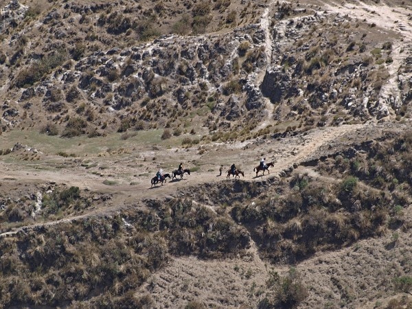
Photogallery of pictures taken during journeys and expeditions to Quilotoa Crater Area (Ecuador) - November 2009 Expedition.
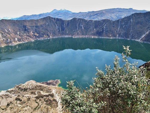
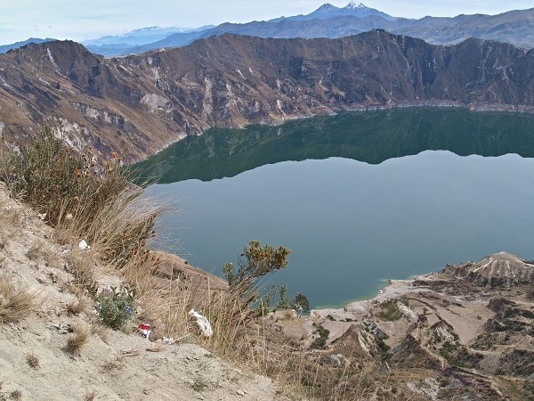
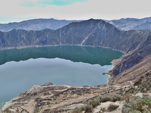
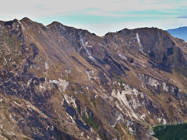
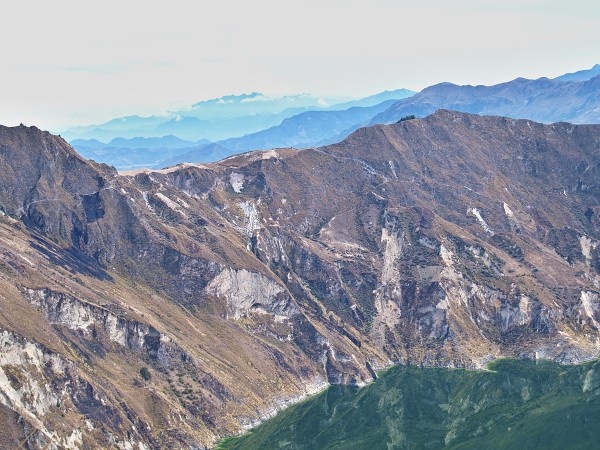
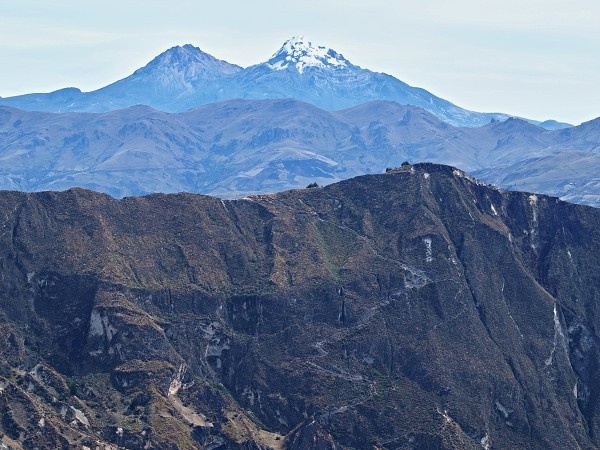
Quilotoa is a water-filled caldera and the most western volcano in the Ecuadorian Andes. The 3 kilometres -wide caldera was formed by the collapse of this dacite volcano following a catastrophic eruption about 800 years ago, which produced pyroclastic flows and lahars that reached the Pacific Ocean, and spread an airborne deposit of volcanic ash throughout the northern Andes. This last eruption followed a dormancy period of 14,000 years and is known as the 1280 Plinian eruption.
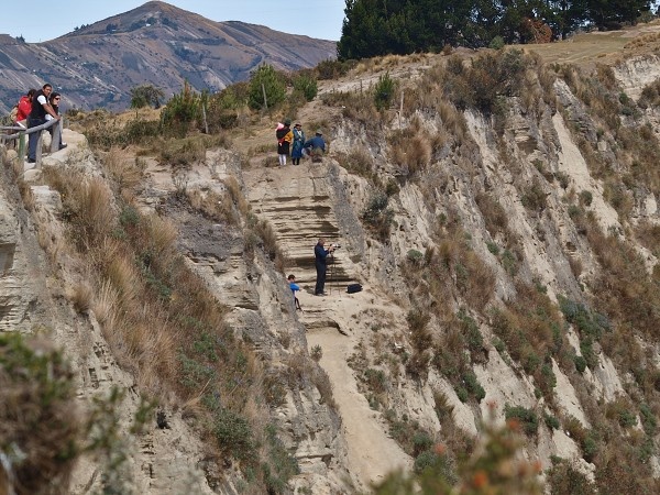
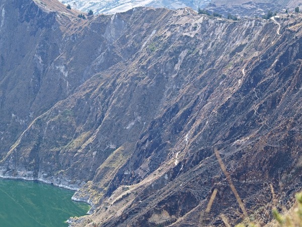
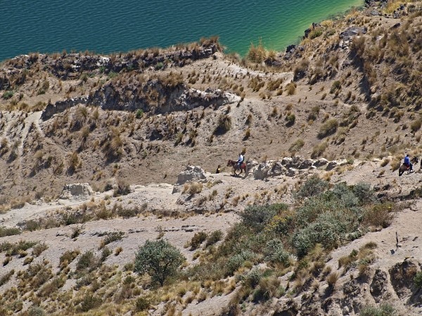
The caldera has since accumulated a 250 m deep crater lake, which has a greenish color as a result of dissolved minerals. The lake surface is located at 3,500 m asl. The total volume of water stored in Lake Quilotoa is 0.35 km3. According to local inhabitants, the lake level has been slowly declining over the last 10 years. Travertine deposits occur along the shore up to 10 m above the lake level.
If you have any questions to joureys/expeditions to Quilotoa Crater Region or any comment to a photogallery use the information form attached below.